Issue Date: Thursday, September 15th, 2016
Issue Time: 8:58AM MDT
Summary
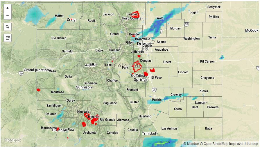
Scattered showers and thunderstorms were once again in bountiful supply on Wednesday across Colorado. The approaching trough providing cool temperatures aloft, while sunshine boosted instability, providing two of the necessary ingredients for convective rainfall. For most, rainfall was of the light to moderate variety with up to 0.5 inches falling across many Colorado locations, save the far eastern border where low clouds stuck around. For some, more active weather was observed in the form of gusty winds, hail and heavier rainfall. The highest rain rates were seen over two areas. First, a storm in Weld County rapidly intensified and produced up to 1.5 inches of rain in about an hour or less. Second, a cluster of storms over the Raton Ridge produced up to 2 inches of rainfall, though this fell between gages over rural areas.
In addition to the rainfall, strong wind shear meant that the most robust cells were capable of producing gusty winds and hail. About half a dozen severe thunderstorm warnings were hoisted during the afternoon and evening hours. The most severe storm was likely that over Crowley County, where hail as big as 1.75 inches was noted from multiple reports. Here are some additional notable hail reports:
- 1.25 inches in Moffat and Weld counties
- 0.88 inches in Mesa County
- 0.25 to 0.5 inch hail across many parts of the western slope
Finally, gusty winds up to 55 mph were observed mainly over the western slope both with and without the presence of thunderstorm activity.
Flooding was not reported on Wednesday. For rainfall estimates specific to your area, check out our Storm Total Precipitation map below. Note that rainfall estimates are likely overestimated under hail cores.