Issue Date: Saturday, September 17th, 2016
Issue Time: 9:00 AM MDT
Summary:
Moisture continued its slight downward trend yesterday, bringing precipitable water values to their lowest points in nearly a week. Due to the lack of moisture and support aloft, most areas remained dry yesterday. However, meager instability over the higher terrain of the Palmer Ridge, Raton Ridge, Front Range, and adjacent lower elevations led to the development of a few isolated showers/thunderstorms. Most activity didn’t produce much more than light rain at the surface. One thunderstorm decided to “buck the trend” and produced brief bouts with heavy rain and small hail across the Denver metro area, causing a delay of the Rockies/Padres game. No flash flooding was reported.
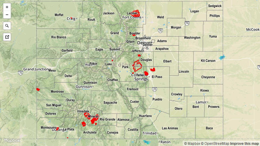
For a closer look at rainfall totals in your area, please see the STP map below for a look at 24-hour precipitation totals.