Issue Date: Wednesday, May 24th, 2017
Issue Time: 10:20AM MDT
Summary:
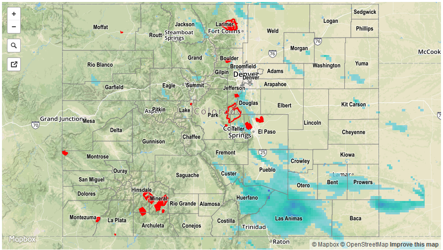
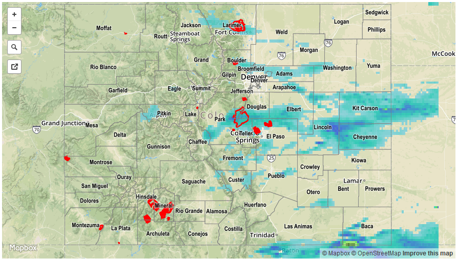
After a long stretch of active weather, Tuesday was much quieter statewide. A few afternoon cumulus clouds were able to form given the high soil moisture. However, these managed to produce only isolated rain showers mainly along and east of the Continental Divide. Lucky locations received up to 0.1 inches of rainfall. For everyone else, it was a pleasant Tuesday.
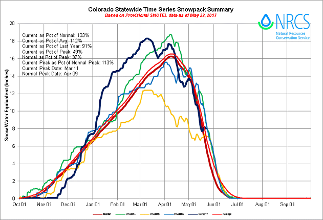
In anticipation of the upcoming snow melt, this morning’s check of the statewide snowpack, below, shows conditions that are almost exactly in sync with the long-term climatology. We will be monitoring temperatures and precipitation over the coming weeks to inform of potential snow-melt related flooding.
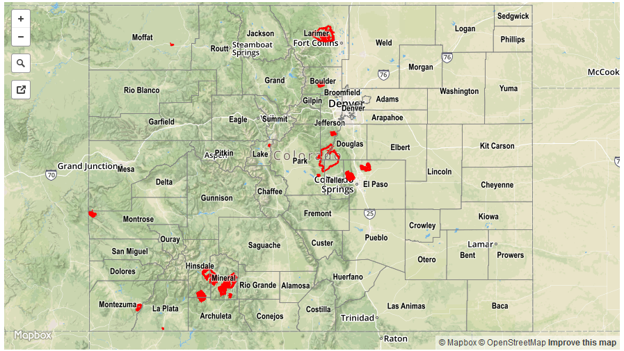
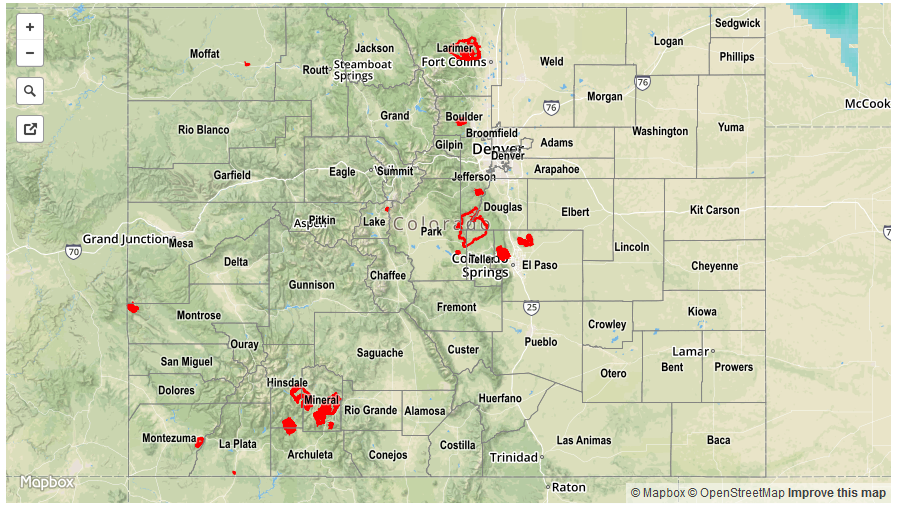
For precipitation estimates in your area, check out our Precipitation Map below. Flooding was not reported on Tuesday.