Issue Date: Monday, May 22nd, 2017
Issue Time: 10:30AM MDT
Summary:
After a brief break on Saturday, precipitation found its way into Colorado again on Sunday. While the first half of the day was pleasant, a quick moving disturbance began to generate rain and high-elevation snow showers across western Colorado by early afternoon. These quickly moved eastward and affected eastern Colorado by the late afternoon and evening hours. Activity persisted into the overnight hours in the southeast part of the state. With little to no instability and fast storm motion, precipitation rates were of low/moderate intensity. Max 24-hour rainfall up to 0.8 inches was noted over the Palmer Ridge and Southeast Plains. However, hourly precipitation rates were 0.4 inches or less.
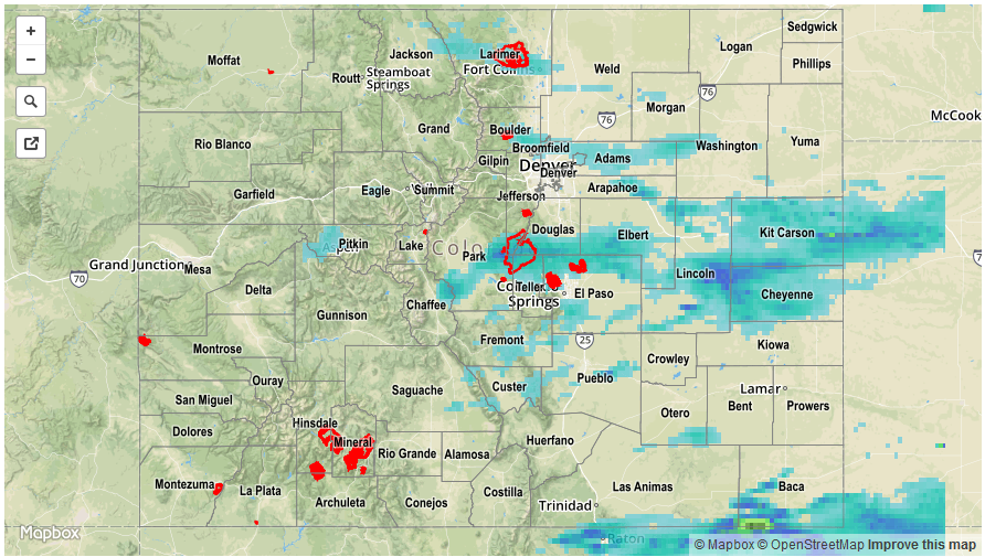
For precipitation estimates in your area, check out our Precipitation Map below. Flooding was not reported on Sunday.