Issue Date: Tuesday, May 23rd, 2017
Issue Time: 9:40AM MDT
Summary:
Active weather continued across most of Colorado on Monday, as an upper-level disturbance and accompanying surface cool front moved across the state from the north. With ample early heating, even a few weak thunderstorms got into the mix especially across southern areas.
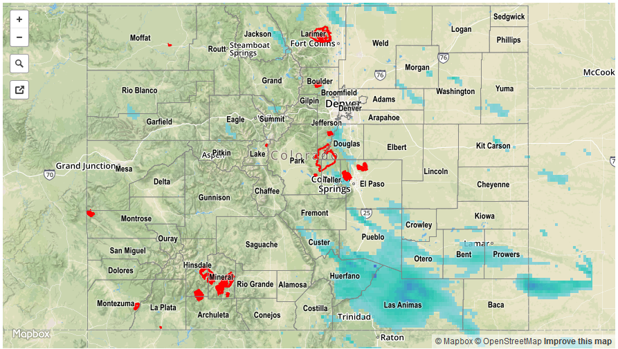
Precipitation started in the early afternoon hours along the Wyoming border, then spread rapidly southward. Rainfall amounts in the 0.15 to 0.30 inch range were typical. However, over the Palmer Ridge, Southeast Plains and Southeast Mountains a few locations received closer to 0.5 inches of rainfall. Gusty winds up to 60 mph accompanied at least one storm along the Kansas border in the mid-afternoon, prompting a brief severe thunderstorm warning. For everyone else, just another orderly rainfall event in what is becoming quiet an active May.
Snow mixed in with the rain above 9,000 feet (lowering to about 7,500 feet by evening). However, only limited accumulations were reported, generally below 3 inches.
For precipitation estimates in your area, check out our Precipitation Map below. Flooding was not reported on Monday.