Issue Date: Sunday, May 21st, 2017
Issue Time: 9:50AM MDT
Summary
The last reach of the disturbance causing Thursday’s snowstorm continued to affect eastern Colorado on Saturday. Scattered rain showers were observed mainly in the morning hours across the Southeast Plains and Northeast Plains. However, with weakening atmospheric forcing, only 0.1 inches of precipitation or less was reported across many locations in Morgan, Logan, Otero, Washington, Pueblo and El Paso counties.
Elsewhere, some moist upslope flow produced up to 0.4 inches of snowfall in the higher elevations of the Northern Mountains and Central Mountains, keeping an already healthy snowpack well fed.
For most everyone else, sunny skies prevalied, allowing for substantial snow melt in the Front Range. As of this morning, almost all locations below 9,000 feet were down to less than 1 foot of snow depth.
Finally, the South Platte River crest from Thursday’s storm continued to travel downstream and made it to Fort Morgan. However, crest levels were below Minor flood stage so major issues were reported.
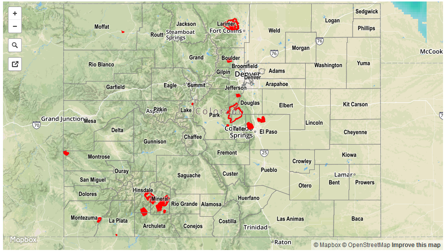
For precipitation estimates in your area, check out our Precipitation Map below. Flooding was not reported on Saturday.