Issue Date: Monday, June 5th, 2017
Issue Time: 10AM MDT
Summary:
Hot weather continued to the west of the Continental Divide with a ridge axis overhead promoting plenty of sunshine and subsiding air. High temperatures of 5-10 F above normal were common, with many lower elevation locations topping out well above 90 F (Grand Junction hit 95 F). Significant snow melt was observed with 1 – 2 inches of snow water equivalent (SWE) melting or sublimating over the course of the day. For example, the Schofield Pass SNOTEL site in the Elk Mountains had 20.5 inches of SWE on Sunday morning but only 18.7 inches this morning. Fortunately, no snow-melt related flooding concerns were reported.
Elsewhere, a few rogue storms managed to beat the odds across south-central Colorado. The highest rainfall amounts were reported in the driest part of the state – the San Luis Valley. Up to 0.4 inches of rainfall was reported, with a few hundredths being reported across the Great Sand Dunes. For everyone else, it was a pleasant and warm Sunday.
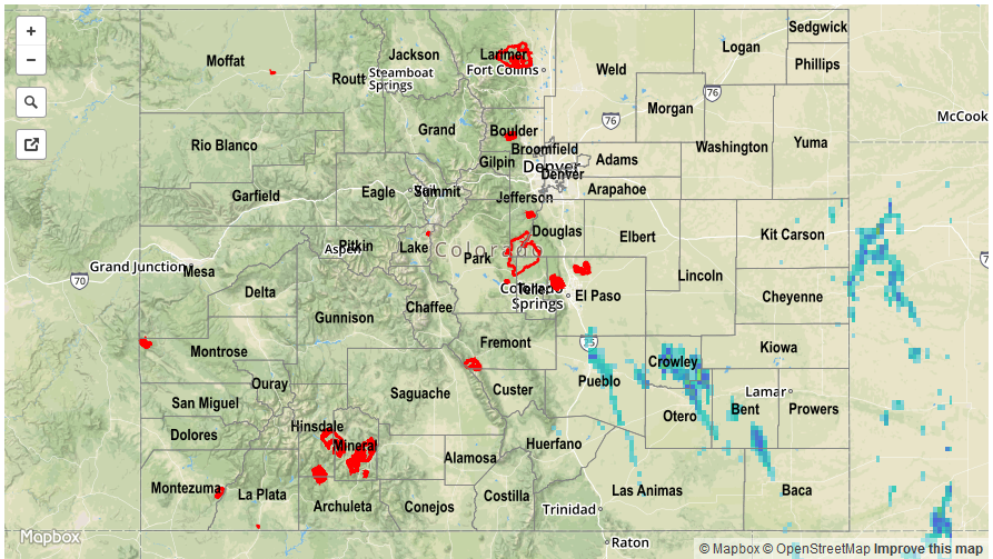
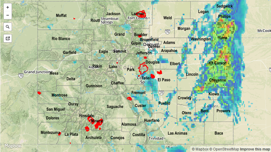
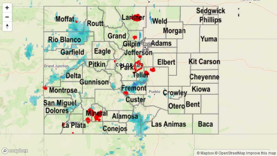
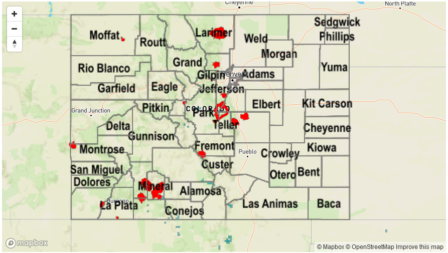
For precipitation estimates in your area, check out our Precipitation Map below. Flooding was not reported on Sunday.
![]()