Issue Date: Friday, June 2nd, 2017
Issue Time: 10:35AM MDT
Summary:
The higher elevations of central and western Colorado got in on the thunderstorm action on Thursday. Early storms developed across the Sangre de Cristos, and higher elevations of the Central Mountains and Northern Mountains. With little shear, individual downpours were limited to 30 minutes or less, during which up to 30 minutes of rainfall fell. A few locations received multiple storms and up to about 0.9 inches of total rainfall was observed, as shown in the Precipitation Map below (which includes radar estimated precipitation).
For everyone else, it was a pleasant Thursday with near seasonal temperatures.
For precipitation estimates in your area, check out our Precipitation Map below. Flooding was not reported on Thursday.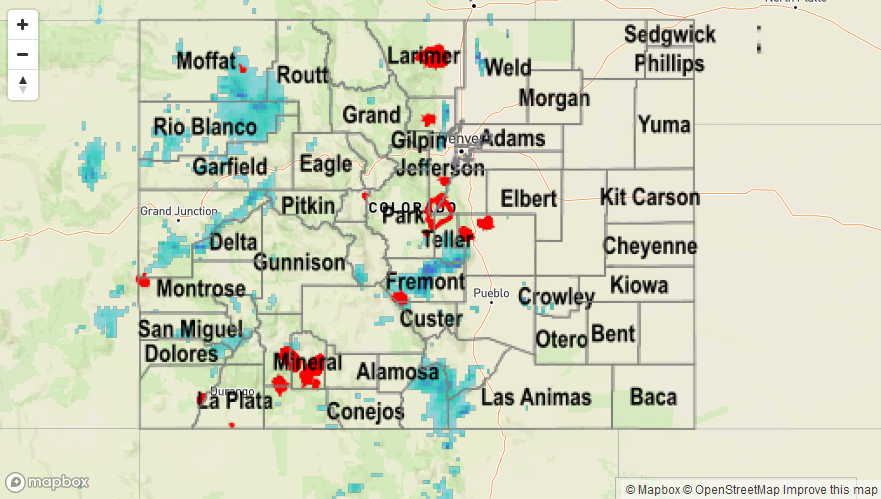
![]()