Issue Date: Sunday, June 4th, 2017
Issue Time: 10:10 AM MDT
Summary:
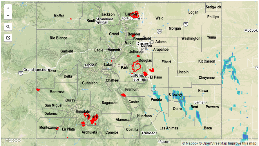
A mid-level low spun along the eastern CO border, slowly drifted southward above the Northeast Plains and Southeast Plains, and resulted in another afternoon and evening of scattered showers and thunderstorms. The number of storms, and their coverage, was noticeably down from the previous day, and mainly confined along/east of the Continental Divide. No flash flooding was observed or reported, as rain rates remained below thresholds. The best rain of the day fell across far eastern Colorado, nearest the forcing from the mid-level low.
Please see the STP map below for a look at precipitation totals from the last 24 hours.