Issue Date: Saturday, June 3rd, 2017
Issue Time: 10:10 AM MDT
Summary:
A couple mid-level disturbances traversed across Colorado yesterday, kicking off isolated-to-widely scattered showers/weak thunderstorms west of the Divide, and scattered showers and thunderstorms east of the Divide. A thunderstorm complex moved slowly east-southeastward over the eastern plains during the afternoon/evening hours, producing periods of heavy rain into the early morning hours. No flash flooding was reported yesterday, but a flood warning was issued for portions of Yuma County and Kit Carson County. According to CoCoRaHS observers, yesterday’s “big winners” in terms of rainfall are:
Yuma County: 1.84 inches
Phillips County: 1.61 inches
Kit Carson County: 1.52 inches
Prowers County: 1.30 inches
Cheyenne County: 1.21 inches
Please see the STP map below for a look at precipitation totals from the last 24 hours.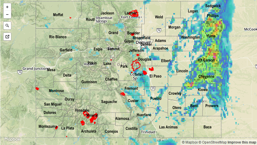
![]()