Issue Date: Saturday, July 15th, 2017
Issue Time: 10:10 AM MDT
Summary:
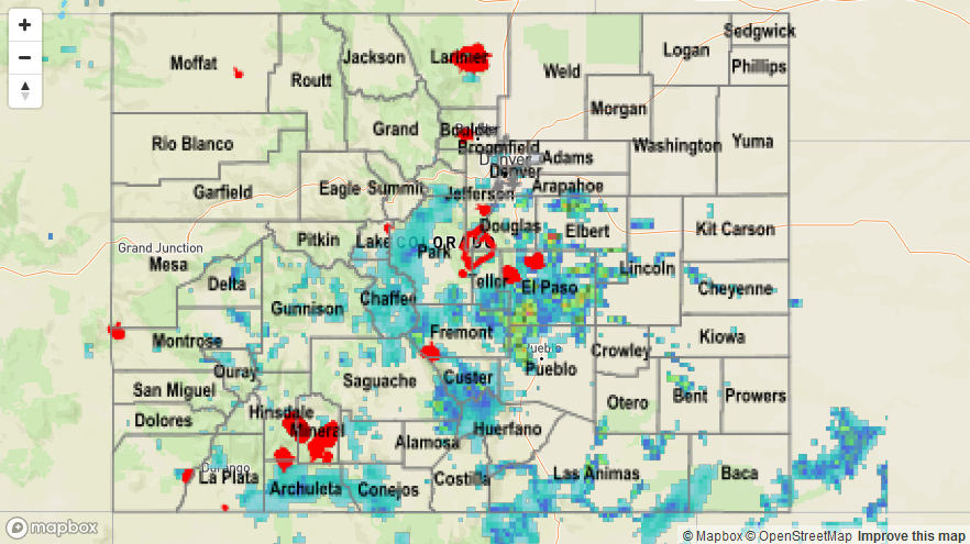
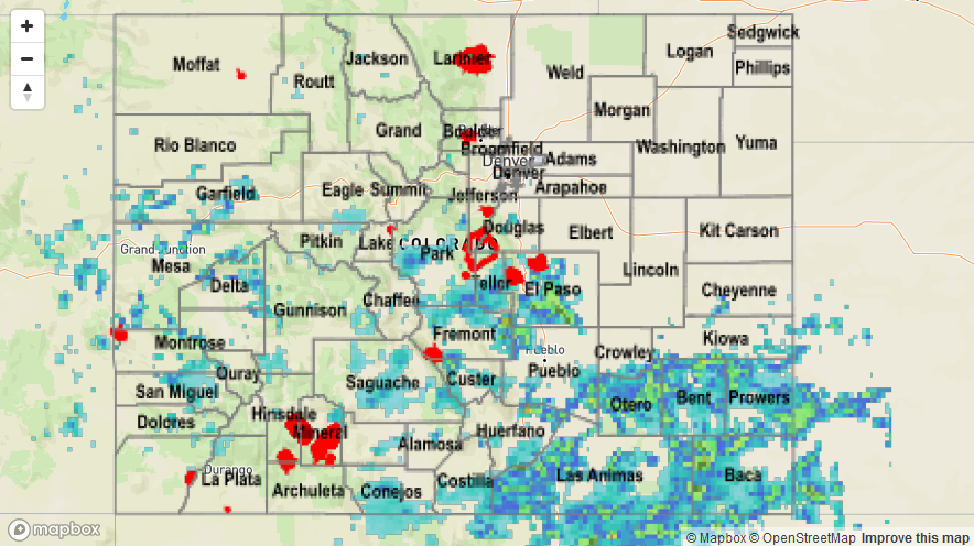
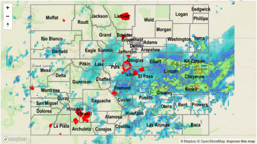
The upper-level ridge continued its residence over the region, but was once again out-matched by the moisture underneath with the help of a mid-level disturbance. Precipitable water values remained greater than 1 inch for much of Southeastern Colorado, and this helped to fuel efficient rainfall from thunderstorms. As for observational “ground truth,” there were a few heavy rain reports submitted to the National Weather Service yesterday:
3 miles SSE of Swissvale: 1.63 inches
2 miles NW of Colorado Springs: 1.42 inches
5 miles WNW of Pueblo West: 1.4 inches
2 miles ESE of Swissvale: 1.0 inches
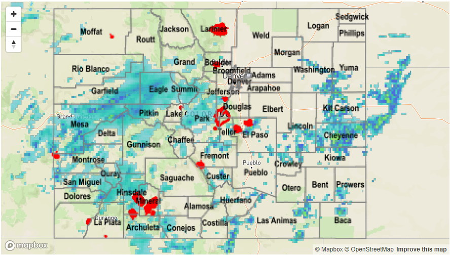
Please see the STP map below for a look at precipitation totals from the last 24 hours.