Issue Date: Tuesday, August 8, 2017
Issue Time: 10:10AM MDT
Summary
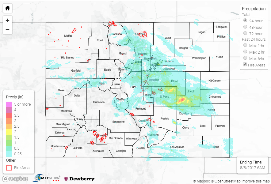
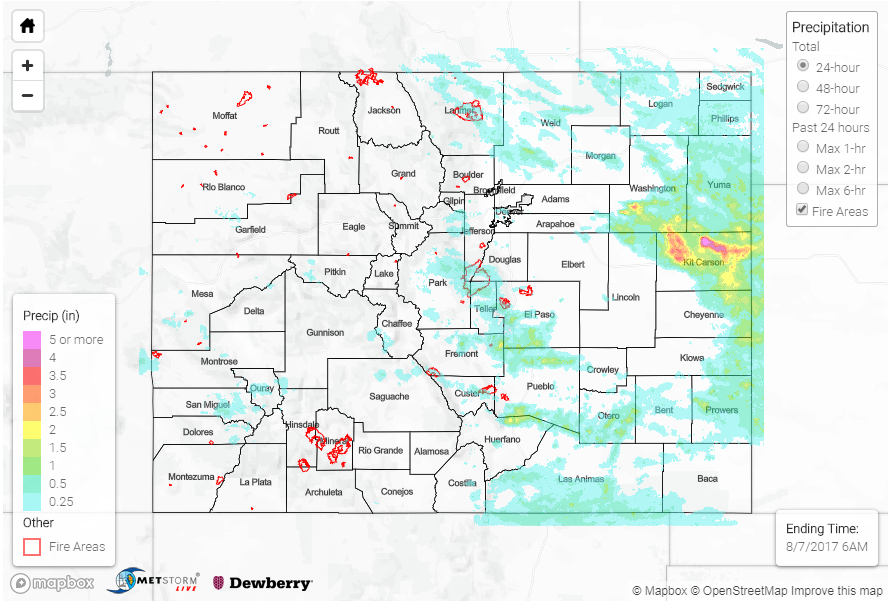
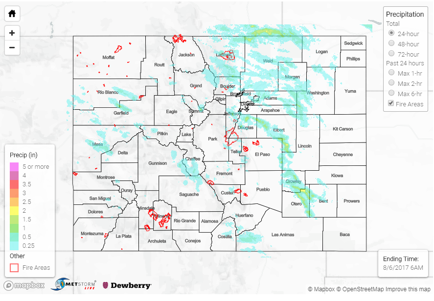
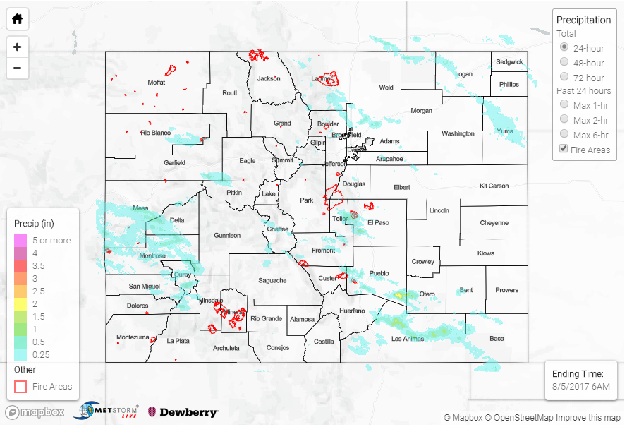
Moisture paired with several mid-level disturbances made for nearly continuous rain yesterday. Despite heavy cloud cover and cooler temperatures (temperatures were close to the lowest record high at DIA), the shortwaves were strong enough to fire multiple rounds of showers and thunderstorms. There was even some snow over the higher peaks! The first round of showers began in the morning with the first disturbance and low convective temperatures. Throughout the day, the precipitation was more tropical like than our typical heavy rainfall scenarios. With high dew points, the 24-hour totals were more impressive than they looked on radar with low reflectivity producing 30-min rain totals close to a half inch. In the evening and overnight hours, a cluster of showers formed over the adjacent plains and began to move south overnight. The final showers of this feature are exiting over the Kansas border this morning.
The multiple rounds of rain yesterday accumulated to create high storm totals for low temperatures and lack of instability. Over the Front Range, two SNOTEL sites recorded an inch of rain. Over the Southeast Mountains, 1.01 inches was recorded in an hour over Custer County. A CoCoRaHS station in Lincoln County recorded 2.63 inches. Radar estimates in this area were as high as 3.5 inches with overnight totals. There were two flood advisories yesterday, but as of this morning, there were no flood reports. We will continue to monitor the Arkansas River basin over the next couple of days as saturated soils and widespread rainfall will contribute to rising water on already elevated flows.
The most interesting report yesterday was near the Wet Mountains where there were several reports of funnels yesterday afternoon. Often times, mountains create their own circulations. The low-level winds are moving in one direction, while the mid-level winds are moving in another. This creates a rotation on a horizontal axis. If this vortex is located near an updraft (like yesterday), it can tilt from horizontal to vertical. With enough moisture in the air, condensation will occur making the funnel visible. For a funnel to form, you don’t always have the presence of a severe thunderstorm mesocyclone.