Issue Date: Saturday, August 5, 2017
Issue Time: 11AM MDT
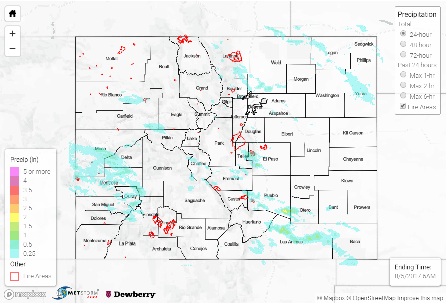
Summary:
In Colorado, we are frequently impressed by thunderstorms that “overachieve” given the atmospheric conditions. Such was the case on Friday. Despite marginal moisture and relatively fast storm steering winds, isolated pockets of heavy rainfall were observed. Overall, precipitation coverage was highest across the Grand Valley, San Juans, Northeast Plains and Southeast Plains. West of the Continental Divide, over 1 inch of rainfall was estimated to have fallen across Mesa, Montrose and Garfield counties. Several debris flows were reported in those counties, along with flooded streets in Carbondale (Garfield County).
Farther east, most storms were cruising along at 25+ mph, which generally limited rainfall rates. However, once enough storms form in proximity to each other, they change the local steering winds and localized heavy rainfall can result. Over 1.5 inches of rainfall was estimated (highest official gage reports just under 1 inch) east of Pueblo. An Areal Flood Advisory was issued in the early evening. Fortunately, flooding was not reported as of this morning.
In addition to the rainfall, a few reports of large hail (up to 1.5 inches near Wetmore) and gusty winds (62 mph report at the Denver International Airport) were reported in association with the strongest thunderstorm cells.