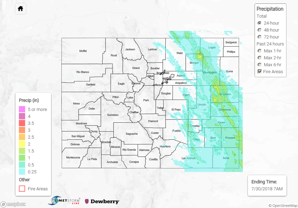
Issue Date: Monday, July 30th, 2018
Issue Time: 09:06 AM MDT
Summary:
Severe weather returned to the eastern Colorado on Sunday. This is quite odd because it is so late in the severe weather season. However, excellent shear and high CAPE (Convective Available Potential Energy) values provided a favorable environment for severe supercells thanks in part to the upper level jet stream over the area. There were quite a few hail reports up and down the Front Range with hail as large as 2.75 inches over several counties in the Northeast Plains. Strong winds also accompanied the severe storms yesterday with a gust of 83 mph reported over Kit Carson County. Trees were reported down and blocking the road in Prowers County near Granada. There were two tornadoes reported on Sunday from the same storm. The first touchdown was in the Pawnee National Grasslands and the second near Brush. Unfortunately, there was damage with the second touchdown. There were reports of several trees down, planes flipped over and roofs being blown off homes. Thankfully there were no injuries reported.
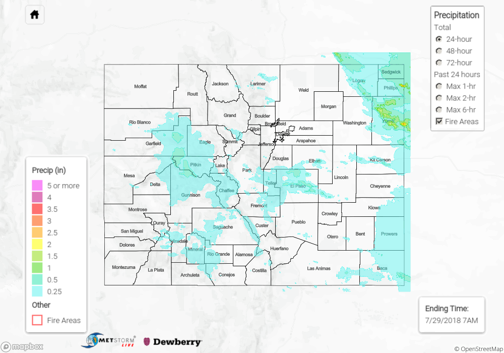
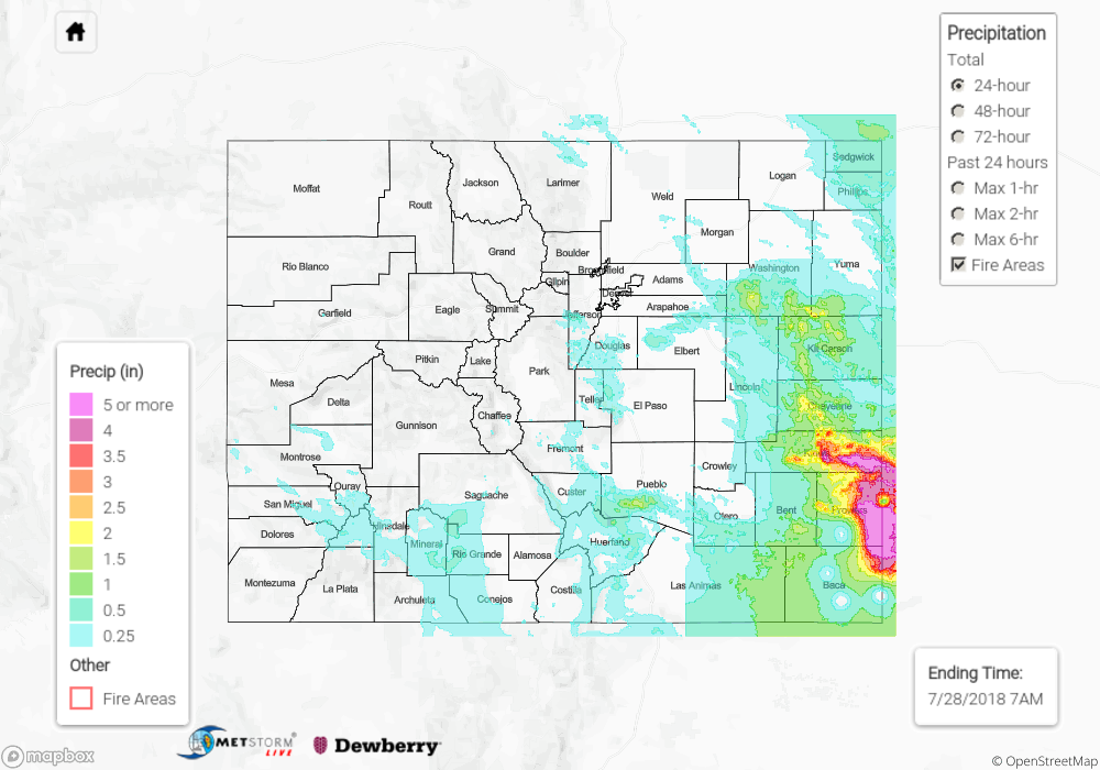
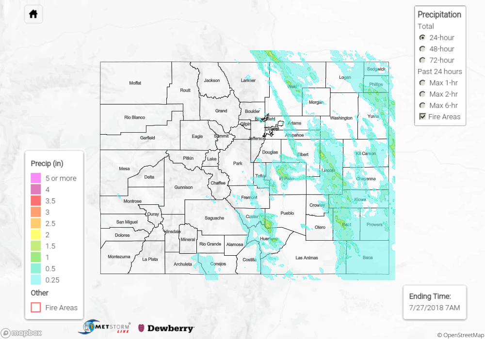
As far as heavy rainfall, 0.7 inches fell in a quick 30-minute span over Pueblo County. The larger storms over the eastern plains were producing 1-hour rain rates just over 2 inches. While rivers in the area rose a couple of feet, no flooding was reported as of Monday morning. The eastern plains have been hammered with heavy rainfall the last few days, so I’m sure they’re looking forward to the break the next couple of days as the dry air works its way in from the north.
To see how much precipitation fell in your area, scroll down to the State Precipitation Map below.
Click Here For Map Overview