Issue Date: Saturday, May 16th, 2020
Issue Time: 9:00 AM MDT
Summary:
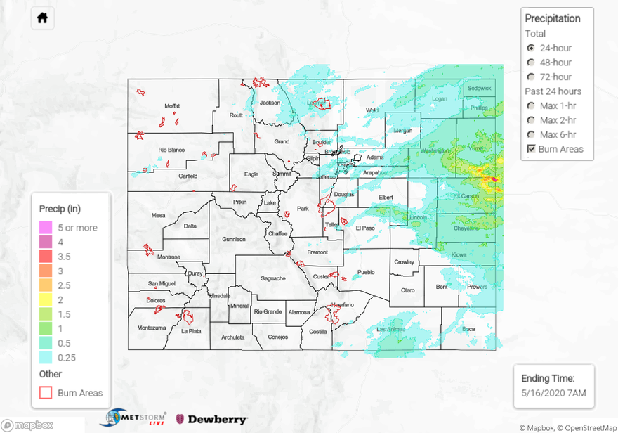
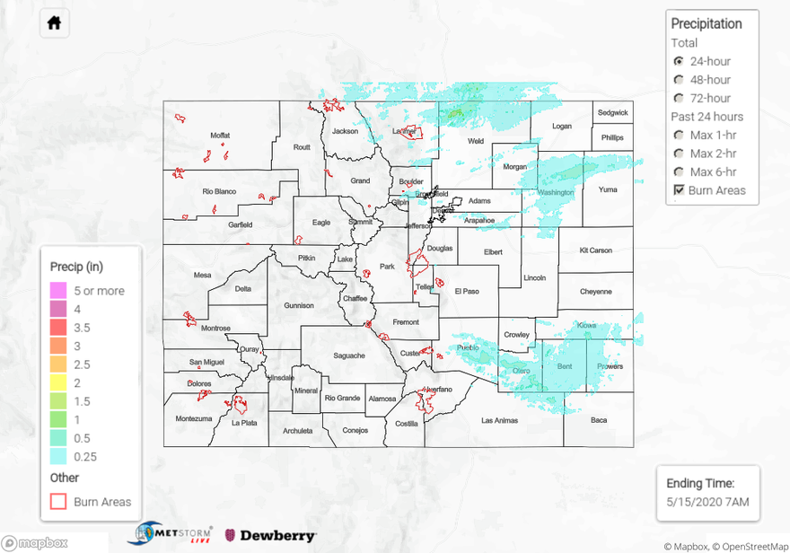
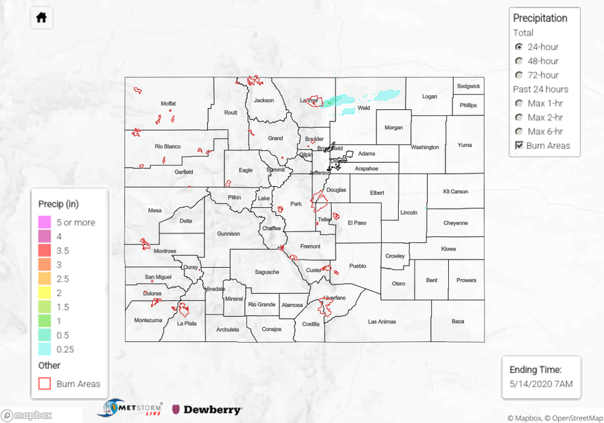
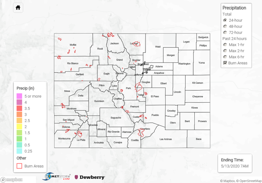
Scattered showers and thunderstorms rolled across much of Colorado yesterday, with the best coverage along/east of the Continental Divide. Most of the activity was of the garden variety, producing periods of light-to-moderate rainfall and gusty winds. A few strong-to-severe storms mixed in over the Urban Corridor, Palmer Ridge, Northeast Plains, and Southeast Plains, producing hail up to 0.75-1.0 inch in diameter and strong winds. A few rain showers continued after sunrise east of the mountains, bringing light rainfall to portions of the Urban Corridor, Palmer Ridge, Southeast Plains, and Northeast Plains.
Flooding was not reported on Friday. For rainfall estimates in your area, check out our State Precipitation Map below.
Click Here For Map Overview