Issue Date: Wednesday, May 13th, 2020
Issue Time: 8:55AM MDT
Summary:
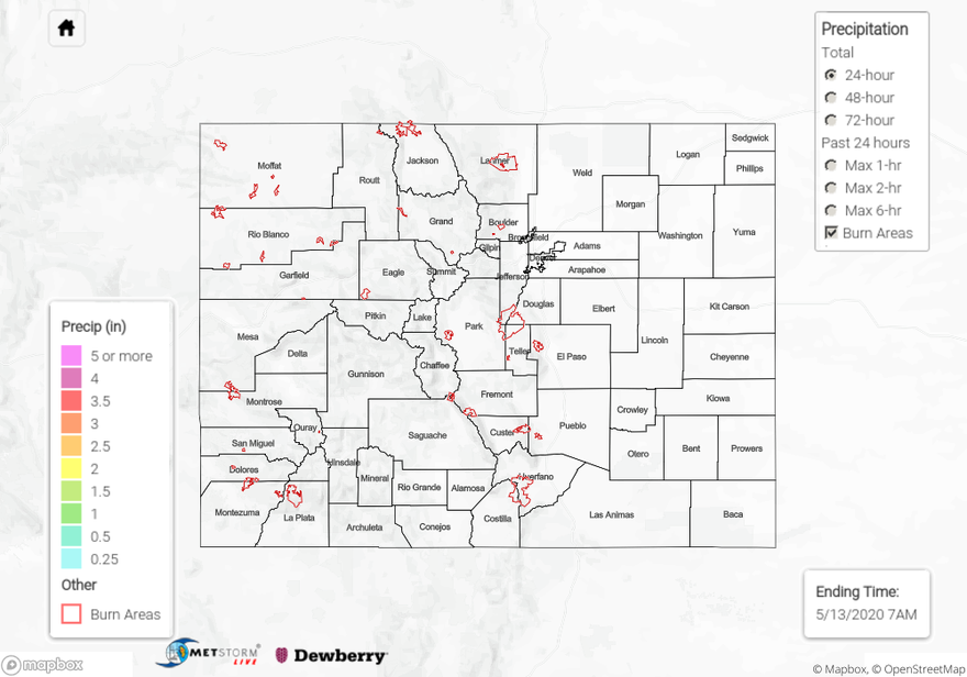
Much quieter weather day on Tuesday with subsidence and drying in the wake of the last system. Temperatures were much cooler across the eastern plains thanks to ongoing cloud cover, and highs did not reach above 40F over the northeast corner. Warmest temperatures were over the Northwest Slope where less cloud cover helped temperatures rebound more quickly. Radar estimates of rainfall indicate that precipitation occurred over southern Rio Blanco County and along the Continental Divide in Fremont County. Totals were between 0.05 and 0.10 inches. Flooding was not reported.
For precipitation estimates in your area over the last 48-hours, scroll down to the State Precipitation Map below.
Click Here For Map Overview