Issue Date: Thursday, August 13th, 2020
Issue Time: 10:40AM MDT
— Flooding is NOT expected today
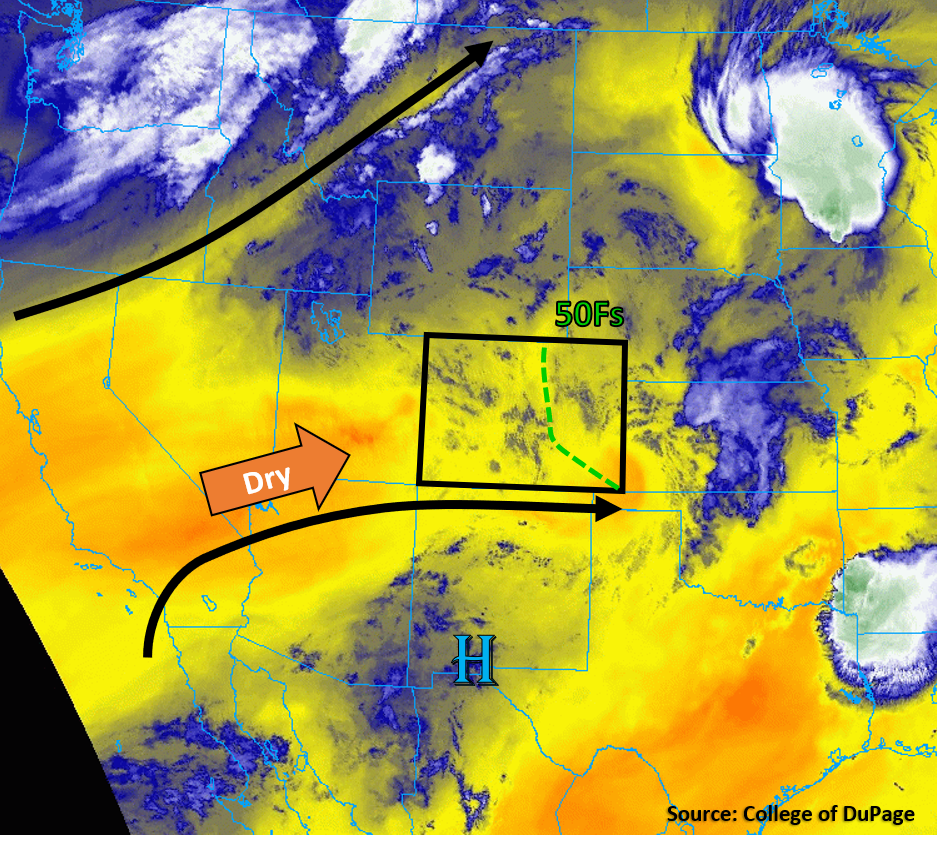
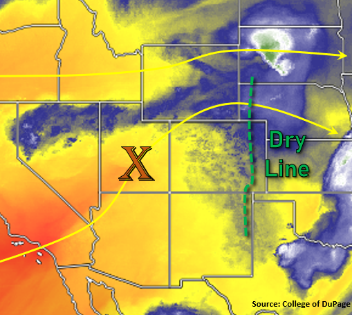
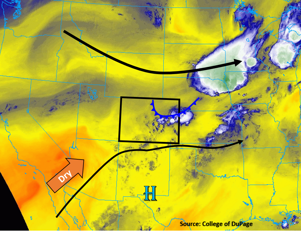
Today’s weather setup is like a broken record as dry conditions will continue to impact the majority of Colorado and limit rainfall chances. Dry air is being pumped in from the west between a high pressure to our south and a passing trough to our north. The visible satellite image below shows almost no clouds to the west of Colorado, indicating the dry air that will continue to flow into Colorado today. A Red Flag Warning has once again been issued for northwest Colorado due to gusty winds and low humidity associated with the passing trough and mixing of higher winds down to the surface.
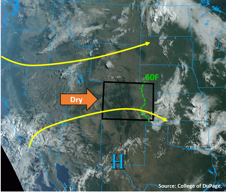
Outflow boundaries from nocturnal convection can still be seen over southeastern Colorado in the visible satellite image below. Dew points are high (60Fs) this morning over the eastern plains, but surface moisture quickly drops off over the western half of the plains, where the Denver sounding shows a surface dew point of only 39F. Diurnal heating and westerly downslope winds today will mix out most remaining low-level moisture over the plains due to dry air aloft. A slight chance exists for storms to fire near or over the eastern border of Colorado, where some surface moisture may hang on just long enough for convergence near a surface trough to kick off storms. However, limited moisture and moderate upper-level flow will keep rain rates well below flood threat criteria. No flooding is expected over the plains.
Today’s Flood Threat Map
For more information on today’s flood threat, see the map below. Hover over the threat areas for more details, and click on burn areas to learn more about them. For Zone-Specific forecasts, scroll below the threat map.

Zone-Specific Forecasts:
Northeast Plains, Urban Corridor, Palmer Ridge, Raton Ridge, & Southeast Plains:
Plenty of sunshine today, with temperatures climbing above average. Dry air will mix out surface moisture with diurnal heating today, but a few storms could fire near the eastern border of Colorado. Max rain rates from these border storms should remain below 0.3 in/hr with most of the convective activity likely east of the border. No flooding is expected. The more likely threat from any storms that are able to fire would be some gusty winds up to 45 mph. Smoke from the western Colorado wildfires will continue to impact air quality along the Urban Corridor.
Primetime: 1PM to 7PM
Grand Valley, Northwest Slope, Northern Mountains, Central Mountains, Southwest Slope, San Juan Mountains, San Luis Valley, Southeast Mountains, & Front Range:
Mostly sunny and warm again today with plenty of diurnal heating and gusty afternoon winds. Low humidity and wind gusts up to 35 mph will keep fire danger high, which is why a Red Flag Warning has been issued again today for the Grand Valley, Northwest Slope, and Central & Northern Mountains. Wildfire smoke continues to affect air quality for the mountain valleys of the Central and Northern Mountains, as well as the Grand Valley and Northwest Slope. This smoke will be mixed out some with the mixing of the boundary layer from diurnal heating, but will likely continue to impact visibility. Little to no measurable rainfall is expected for most mountain and western slope locations, but some afternoon clouds are likely to form over the high terrain.