Issue Date: Thursday, September 16th, 2021
Issue Time: 9:25AM MDT
— Flooding is NOT expected today
The water vapor image, below, shows that very dry air has overtaken a majority of the Four Corners region. This morning’s Precipitable Water (PW) at Denver and Grand Junction were at 0.38 and 0.42 inches, respectively, with a deep mixed layer residing above a very dry boundary layer. Additionally, winds have increased in the mid-levels of the atmosphere and with strong heating today, some of this momentum will mix down to the surface. The takeaway is, for the majority of the state, we expect temperatures to run well above normal with breezy/windy conditions and no precipitation. With drying soils, this recipe equates to an enhanced threat for wildfire generation, and a Red Flag Warning and Fire Weather Watch have been posted for the higher terrain of central and northern Colorado.
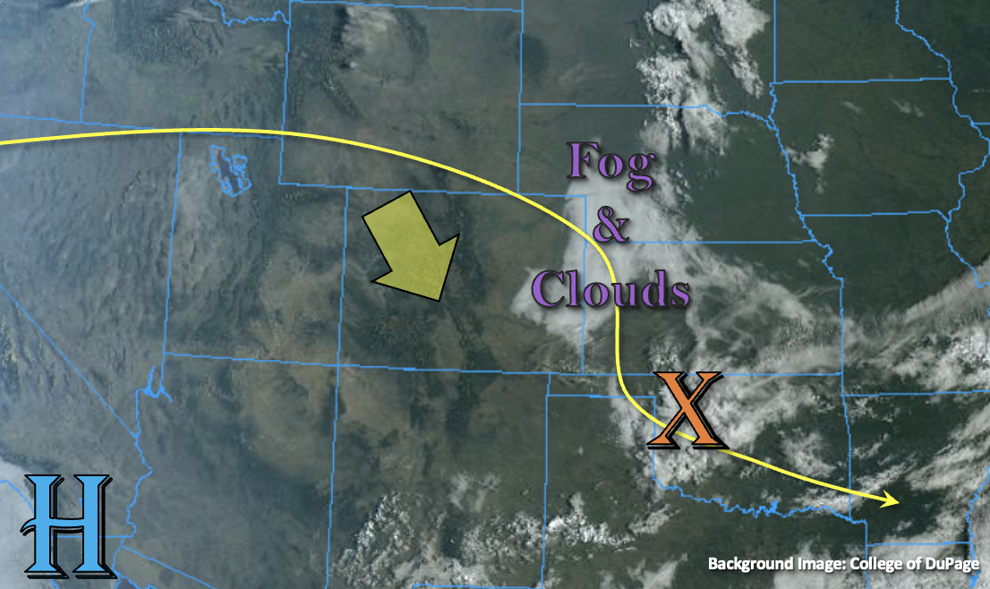
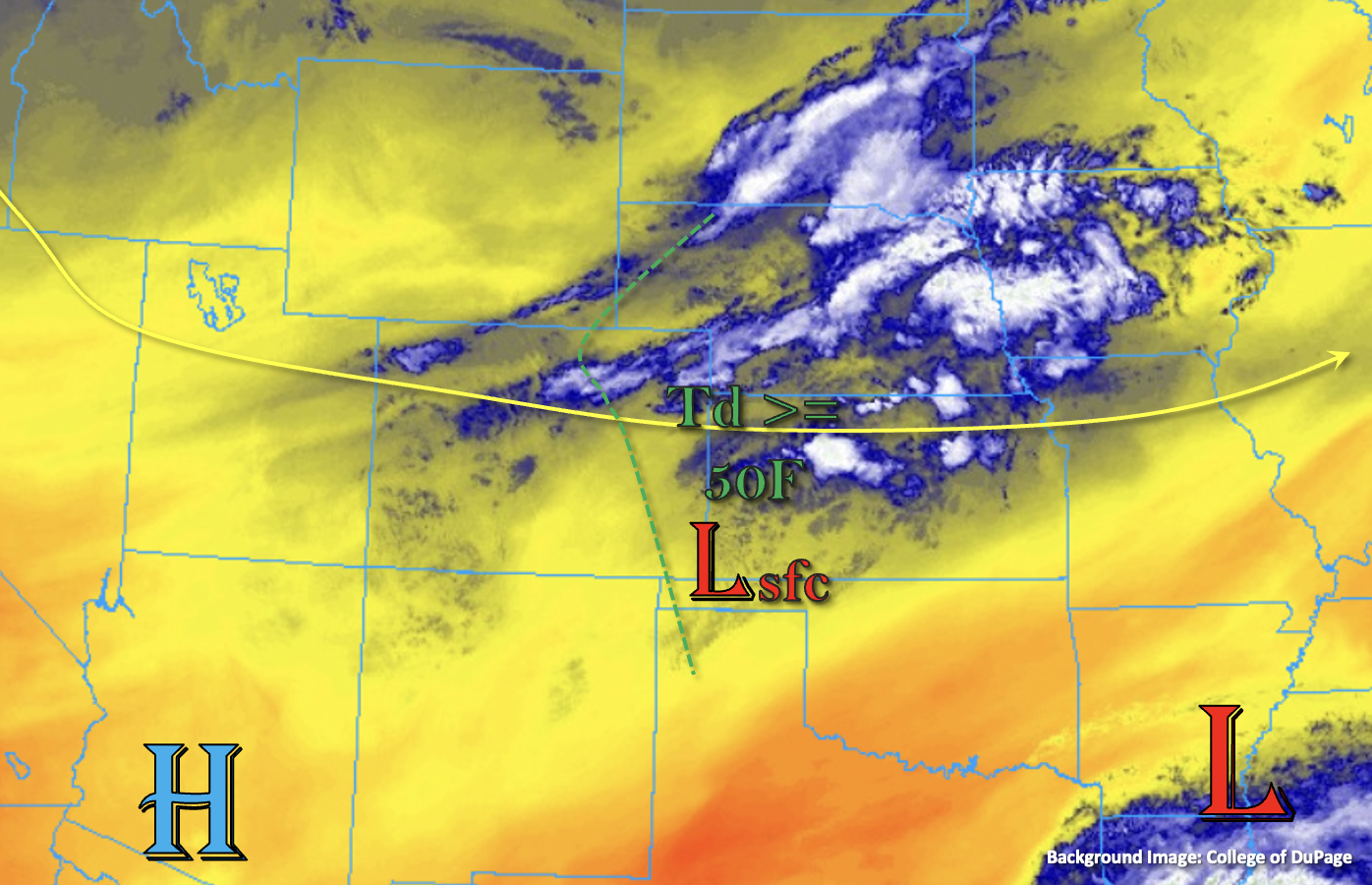
The lone region that could experience some meaningful precipitation is the far northeast corner of the state. As a strong trough to the north guides a cool front into Colorado overnight, the synoptic-scale lift will overcome the modest moisture to produce a line of broken showers and storms. A few storms could even become severe (mainly strong wind threat). However, with the relatively swift storm motion, flooding is NOT expected today.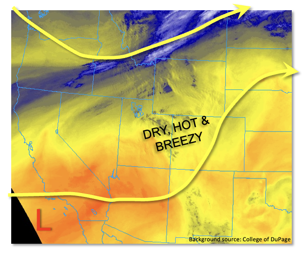
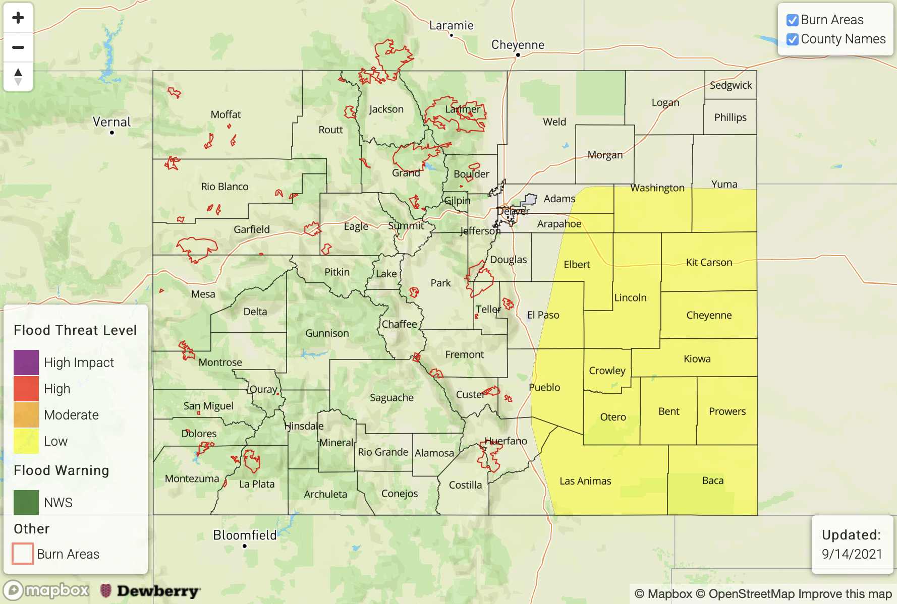
Today’s Flood Threat Map
For more information on today’s flood threat, see the map below. If there is a threat, hover over the threat areas for more details, and click on burn areas to learn more about them. For Zone-Specific forecasts, scroll below the threat map.
Zone-Specific Forecasts:
Northeast Plains:
Sunny and hot through the late afternoon, then isolated to scattered showers and storms possible especially towards the NE/KS border. Max 1-hour rainfall up to 0.8 inches, along with a threat of severe weather. However, flooding is NOT expected today.
Primetime: 7PM through Midnight
Palmer Ridge, Front Range, Urban Corridor, Southeast Plains, Northern Mountains, Northwest Slope, Southwest Slope, Grand Valley, Central Mountains, San Juan Mountains, San Luis Valley, Raton Ridge and Southeast Mountains:
Becoming partly cloudy and very warm with breezy conditions developing in the afternoon. A Red Flag Warning has been posted for the Northwest Slope and Northern Mountains, along with a Fire Weather Watch for parts of central Colorado.
A cool front overnight could trigger an isolated rain or snow shower over the highest peaks of the Northern Mountains.
Flooding is NOT expected today.