Issue Date: Monday, September 13th, 2021
Issue Time: 9:55AM MDT
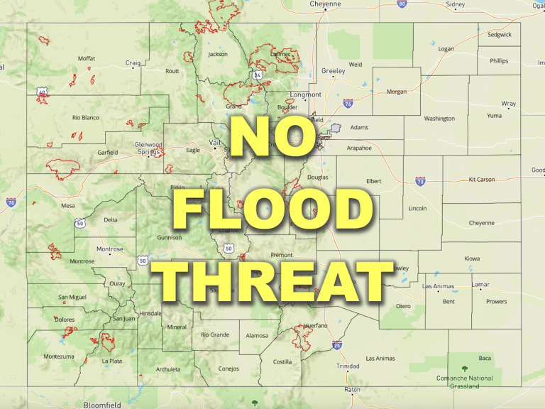
— Flooding is NOT expected today
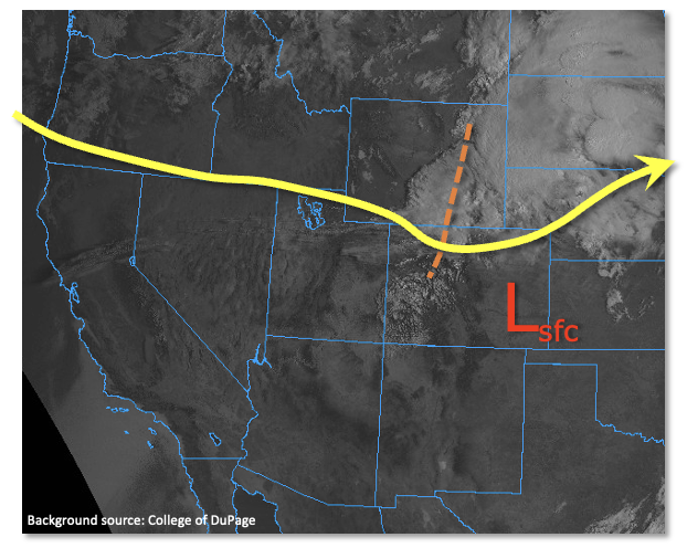
Whenever there are morning clouds across Colorado during the warm season, chances are something interesting is occurring weather-wise. As shown in the visible satellite image, below, such is the case today. A strong jet streak is positioned just west of Colorado, embedded within a nearly zonal flow aloft. A pronounced shortwave disturbance was noted along the WY/CO border on the eastern edge of the jet streak. This disturbance will move quickly eastward today, while the jet streak will continue to act as a wave-maker and produce other weaker disturbances in the atmosphere overhead. Despite the favorable dynamics, the main limiting factor to rainfall generation today is moisture. Precipitable Water (PW) was a meager 0.51 inches in Denver, but a bit higher at 0.73 inches at Grand Junction this morning. However, the moisture profile today once again suggests a boundary layer that will be too dry to produce heavy rainfall. Nonetheless, the strong dynamics will be able to generate some thunderstorms today mainly over northern Colorado, where the better dynamics are located. However, coverage will be lower than observed on Sunday. A few severe storms will once again be possible mainly over northeast Colorado, even later into the evening as surface winds are expected to turn easterly in response to a diurnal surface low pressure expected to develop over the Arkansas River basin. Ultimately though, the lack of moisture coupled with strong steering winds will limit point rainfall, and flooding is NOT expected today.
Today’s Flood Threat Map
For more information on today’s flood threat, see the map below. If there is a threat, hover over the threat areas for more details, and click on burn areas to learn more about them. For Zone-Specific forecasts, scroll below the threat map.
Zone-Specific Forecasts:
Palmer Ridge, Front Range, Urban Corridor, Northeast Plains, Southeast Plains, Northern Mountains and Northwest Slope:
Partly to mostly cloudy, breezy and slightly cooler with isolated to scattered showers and storms possible, beginning early afternoon and lasting through the early overnight hours (mainly over the Northeast Plains). Max 1-hour rainfall up to 0.4 inches (west of I-25), and 0.7 inches (east of I-25). Flooding is NOT expected today. However, severe weather, mainly in the form of strong straight-line winds, is possible this afternoon with stronger storm cells.
Primetime: 1PM through 2AM
Southwest Slope, Grand Valley, Central Mountains, San Juan Mountains, San Luis Valley, Raton Ridge and Southeast Mountains:
Sunny to partly cloudy, breezy and hot today with an outside chance of a stray shower or weak storm across northern parts of the area. Max 1-hour rainfall up to 0.2 inches. Flooding is NOT expected today.
Primetime: 1PM through 9PM