Issue Date: 7/16/2015
Issue Time: 10:15AM
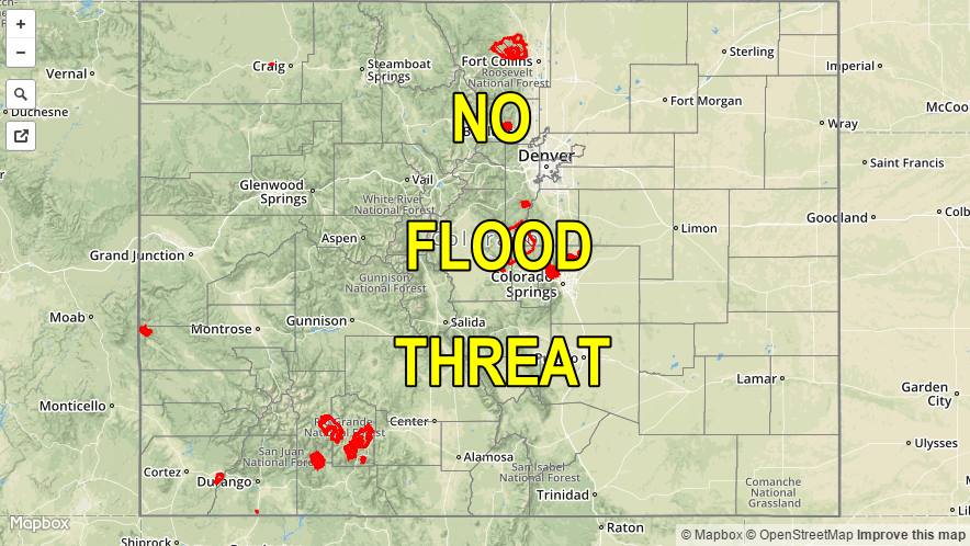
— Flooding is NOT expected today
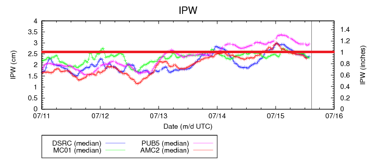
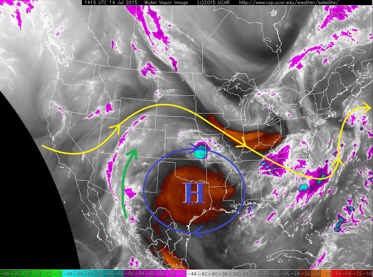
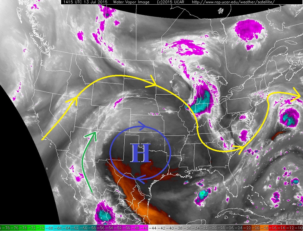
After the passage of a weak disturbance yesterday, substantial drying is noted this morning over Colorado. Precipitable water (PWs) has decreased from a range of 1 – 1.2 inches yesterday to 0.55 – 0.8 today. As shown in the water vapor image, below, the drying over Colorado is part of a larger scale tongue of dry air that extends all the way into the eastern Pacific Ocean. Interestingly, this drying contrasts sharply with a moist axis being supplied by the impressive Hurricane Dolores. However, the moisture is expected to remain south of Colorado today. Please check out our Flood Threat Outlook, updated at 3PM this afternoon, to see how Dolores may impact Colorado’s weather in the coming days.
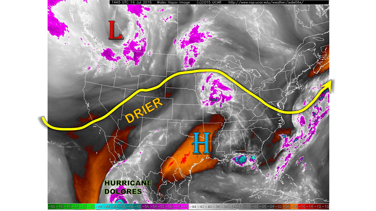
For today, we expect sunny skies this morning to lead to isolated to scattered thunderstorms over the higher terrain by early afternoon. Another batch of storms will be possible later this afternoon in the Front Range and Urban Corridor as a disturbance moves closer from the northwest (see water vapor imagery). However, a dry atmosphere will limit rain rates to about 0.6 inches per hour. Thus, flooding is not expected today. As in the past few days, the strongest thunderstorms will be capable of producing gusty winds, up to 60 mph.
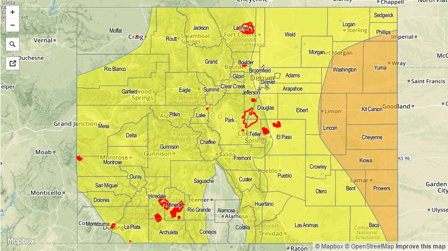
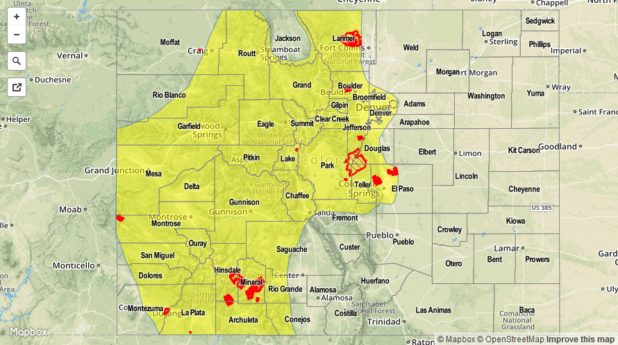
Today’s Flood Threat Map
For more information on today’s flood threat, see the map below (hover over threat areas for more details). For Zone-Specific forecasts, jump below the map.

Zone-Specific Forecasts
Southwest Slope, San Juans, Grand Valley, Northwest Slope, Northern Mountains, Central Mountains, San Luis Valley:
Mostly sunny early, then turning partly cloudy. Isolated to widely scattered thunderstorms will form over the higher terrain and last from early afternoon to around sunset. Max 1-hr rain rates up to 0.5 inches will be possible, along with gusty winds up to 55 mph. No flooding is expected today.
Northeast Plains, Southeast Plains, Palmer Ridge, Front Range, Urban Corridor, Raton Ridge, Southeast Mountains:
Mostly sunny early with isolated to scattered thunderstorms forming by early afternoon. Highest coverage will be over the higher terrain, as well as the Front Range/Urban Corridor near the Wyoming border. Maximum 1-hr rain rates up to 0.6 inches will be possible, along with gusty winds up to 60mph. No flooding is expected today.