Issue Date: Tuesday, September 13th, 2016
Issue Time: 10:10AM MDT
— Flooding is NOT expected today.
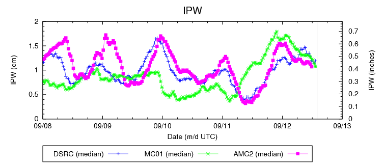
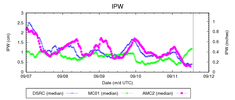
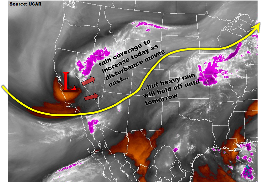
The broad, upper-level trough is easily seen centered over central California on this morning’s water vapor image (below). This cut-off disturbance will maintain its intensity and slowly approach Colorado today. Low-level moisture has recovered over the past 24 hours so that morning precipitable water (PW) values are in the 0.6 to 0.9 inch range across the state. A thin low-cloud deck is noted this morning east of the Continental Divide, which will likely limit surface heating and instability away from the foothills. Sunshine over the western part of the state will provide instability for scattered showers and weak thunderstorms today. Farther east, the highest instability and dynamics are expected to be juxtaposed over the foothills along the entire I-25 corridor. However, moisture will be marginal and upslope flow will be limited to the lowest 3,000 feet. Although scattered thunderstorms are expected, especially over the Palmer Ridge, maximum rain rates are expected to stay just below flood threat levels. Thus, flooding is not expected today. Expect heavy rainfall rates tomorrow as the disturbance moves closer to Colorado.
Today’s Flood Threat Map
For more information on today’s flood threat, see the map below (hover over threat areas for more details). For Zone-Specific forecasts, scroll below the map.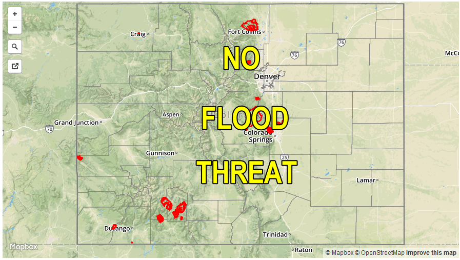

Zone-Specific Forecasts:
Front Range, Urban Corridor, Palmer Ridge, Raton Ridge, Southeast Mountains:
Low clouds early in the lower terrain, then partly cloudy with scattered showers and thunderstorms developing by mid-afternoon. Maximum 1-hour rain rates up to 0.9 inches could cause some minor street flooding in urban areas. Gusty winds up to 50 mph could accompany the strongest storms. Flooding is not expected today.
Primetime: 3PM to 10PM
Southeast Plains, Northeast Plains:
Low clouds early, slowly giving way to party to mostly cloudy skies with cool temperatures. An isolated shower or storm is possible especially over western parts of the area. Max 1-hour rain rates up to 0.5 inches. Flooding is not expected today.
San Juan Mountains, Southwest Slope, Grand Valley, Central Mountains, San Luis Valley, Northwest Slope, Northern Mountains:
Mostly sunny early then turning partly cloudy with scattered showers and an isolated storm possible. Maximum 1-hour rain rates up to 0.5 inches. Rainfall will increase in coverage towards the later evening hours over the Northwest Slope as the disturbance approaches. Hourly rain rates up to 0.4 inches will be possible with total 24-hour rainfall up to 0.9 inches possible by tomorrow morning. Flooding is not expected today.