Issue Date: 9/11/2016
Issue Time: 9:15 AM
NO FLOOD THREAT IS FORECAST.
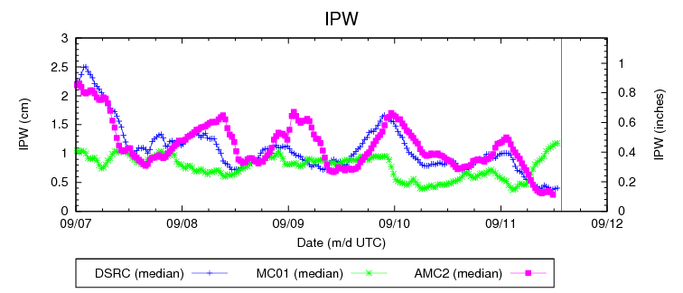
The High Pressure ridge and dry air will remain over the state during this solemn day of remembrance. The pleasant and cooler temperatures from yesterday over the Eastern Plains and Urban Corridor will yield to substantially higher and near-record temperatures that could reach into the lower 90’s; strong winds will also be a factor today in the High Country and Western Slopes. Strong westerly/southwesterly desert winds that will be gusting between 30 and 40 mph will bring more warm and dry air into this region as temperatures rise and dew points fall throughout the day. Already low humidity can be observed at two sites in the plot below, resulting in almost no chance of precipitation anywhere in the state today.
The combination of dry air, warm temperatures, and particularly strong winds in the High Country and Western Slopes will provide the ingredients for a potentially hazardous day in terms of fire danger. Please take extra precautions with campfires today as it just takes one spark to set things off. A shifting weather pattern over the next several days should bring some needed relief throughout the week.
Please remember to take a moment today to remember all those affected by the events of 9/11/01.
Today’s Flood Threat Map
For more information on today’s flood threat, see the map below (hover over threat areas for more details). For Zone-Specific forecasts, jump below the map.

Zone-Specific Forecasts
Urban Corridor, Palmer Ridge, Northeast Plains, Southeast Plains, Raton Ridge:
Very warm and dry conditions will be the story today as continued westerly flow affects the region. Temperatures will be near record levels, so please stay hydrated and remain in the shade if you must go out during the afternoon hours. Overnight temperatures will be bring some relief beginning in the early evening hours. There is no chance of precipitation today.
Northern Mountains, Southeast Mountains, Northern Mountains, Northwest Slope, Grand Valley, Central Mountains, San Juan Mountains, Southwest Slope, and San Luis Valley:
Sunny, dry, and warm conditions will be the story today. Combine these factors with strong gusty winds, and you have all of the ingredients for a potentially hazardous day in terms of fire danger. Please take any and all precautions today if you are working with campfires or any other activity that involves a potential spark. Enjoy this warm, late summer day!