Issue Date: 9/12/2016
Issue Time: 9:15 AM
NO FLOOD THREAT IS FORECAST.
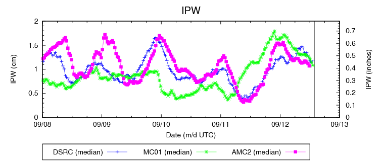
The Low Pressure trough from the northern US will continue to affect the weather in the state, while a cool front that moves to the south and southwest across the state will be the main weather driver of the day. Continued southwesterly flow aloft, as well as near the surface in the morning hours, will continue to advect moisture into southern portions of the High Country today, possibly sparking off a few isolated showers in the late morning hours. (Elevated moisture levels that began yesterday afternoon can be seen in the plot below.) The greater chance of precipitation will occur later in the day as the cool front makes its way across the state from the north. Scattered showers and potentially some thunderstorms will begin to form across the southern high country in the early afternoon and extend to northern portions of the mountains by mid- to late afternoon. Scattered precipitation will proceed into the Eastern Plains by early evening as the front moves over the mountains. Scattered precipitation during the daytime should give way to isolated showers later in the evening and nighttime hours over portions of the Eastern Plains and High Country.
The combination of the upper-level trough, southwesterly flow aloft, and a cool front moving across the state will all combine to set up a relatively wet day today throughout most portions of Colorado, thus easing the fire danger that was initially posted yesterday. Rainfall totals should be relatively light, though, with possible localized heavier amounts not exceeding 1 inch for the day. Rainfall amounts and intensities will not be substantial enough to create any risk of flash flooding; therefore, no flood threat is being issued today.
Today’s Flood Threat Map
For more information on today’s flood threat, see the map below (hover over threat areas for more details). For Zone-Specific forecasts, jump below the map.

Zone-Specific Forecasts
Urban Corridor, Palmer Ridge, Northeast Plains, Southeast Plains, Raton Ridge:
An upper-level through and a cool front moving in from the north will be the main weather drivers for the Urban Corridor and Eastern Plains today. The major chances of precipitation should hold off until the mid- to late afternoon hours as scattered showers and possible thunderstorms move into the region from the west. Isolated precipitation will continue into the evening hours as the front pushes further to the south and west. Total precipitation should not exceed 0.75 inches.
Northern Mountains, Southeast Mountains, Northern Mountains, Northwest Slope, Grand Valley, Central Mountains, San Juan Mountains, Southwest Slope, and San Luis Valley:
Continued southwesterly flow will bring in added moisture to southern portions of the High Country in the morning hours possibly causing a few spotty showers to pop. As a cool front moves in from the north, precipitation will become scattered in the afternoon and evening hours throughout the entire High Country, beginning in the Southwest Slopes and San Juan Mountains in the early afternoon and progressing to the northeast. Rainfall intensities will remain below flash flooding thresholds; therefore, no flood threat has been issued. Total precipitation should not exceed 1 inch.