Issue Date: Monday, June 12th, 2017
Issue Time: 10:35A MDT
— Flooding is NOT expected today
— Hail up to 2.5 inches, gusty winds and tornadoes possible in northeast Colorado
— Elevated fire threat for western Colorado
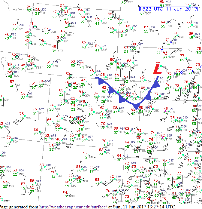
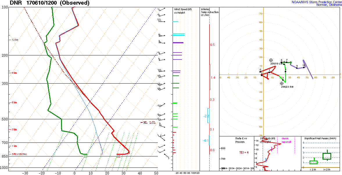
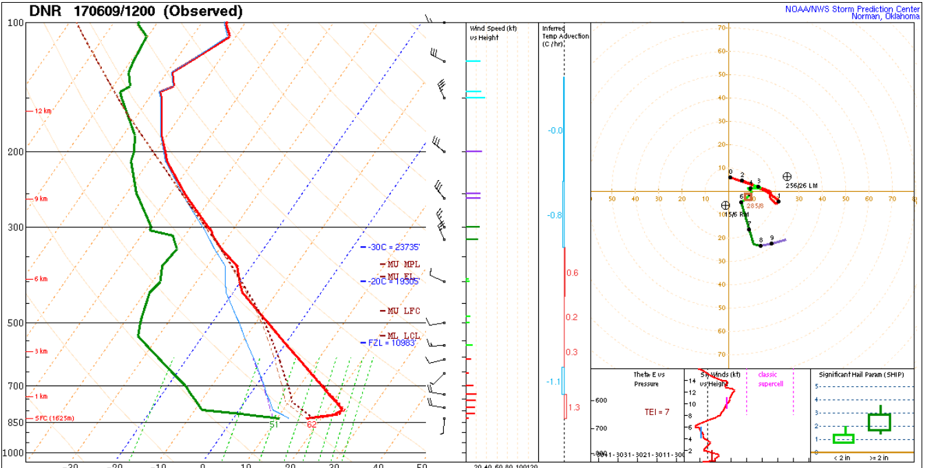
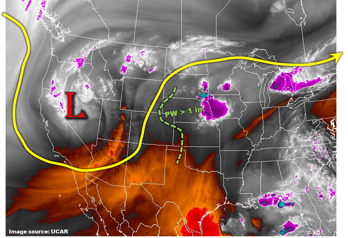
This morning’s surface analysis was an interesting one across Colorado. Near record dew point temperatures were noted in the northeast part of the state – as high as the mid-60s F near the Kansas border with 60F+ dew points even in the Front Range. As the water vapor image shows, below, this is being caused by a strengthening low-level easterly flow in response to an approaching disturbance. As mid-level cooling takes place over Colorado today, expect isolated to scattered thunderstorms across north-central and northeast Colorado. These storms will likely become severe: with very large hail, gusty winds and tornadoes all possible. However, the flood risk will be mitigated by fast storm motions, likely greater than 35 mph. While short-term (30 minutes or less) heavy rainfall will be possible, it will be brief and isolated enough in nature to prevent a flood threat.
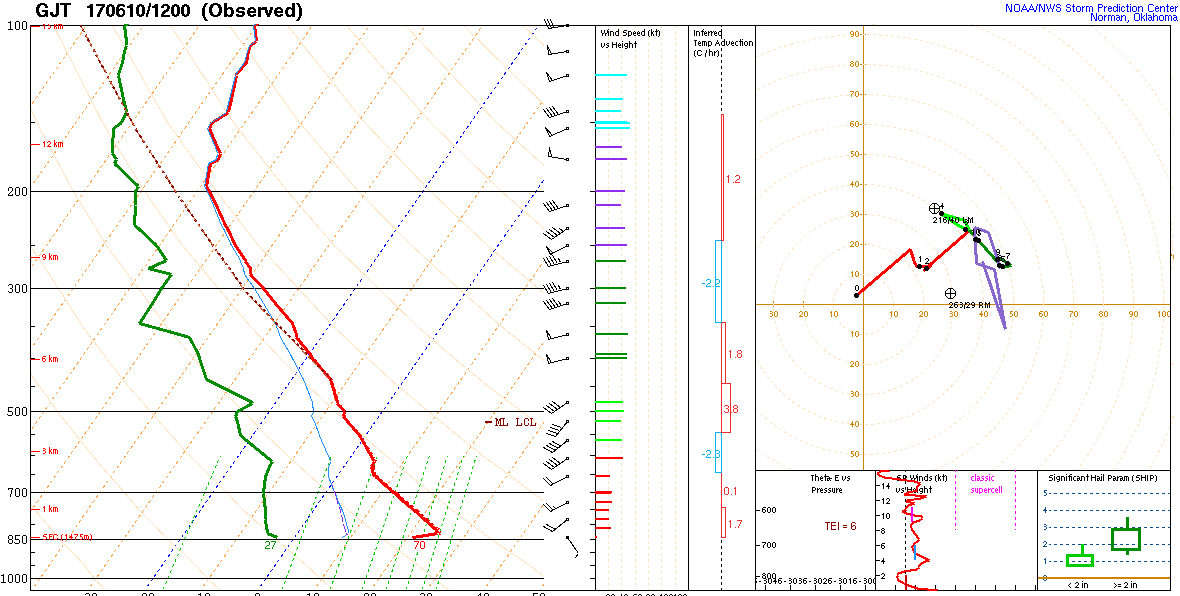
Meanwhile, western Colorado continues to stay very dry with Precipitable Water (PWs) well below 0.5 inch, much less in some areas. Although temperatures will be cooler today, low relative humidity values and gusty winds will keep the fire threat elevated today.
Finally, the two snow-melt related high river flows that we have been monitoring (Arkansas River and Cache La Poudre) should begin to slowly subside today as snow melt wanes. Thus, we have removed the Low flood threat for the Arkansas River.
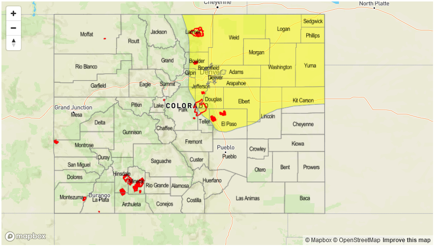
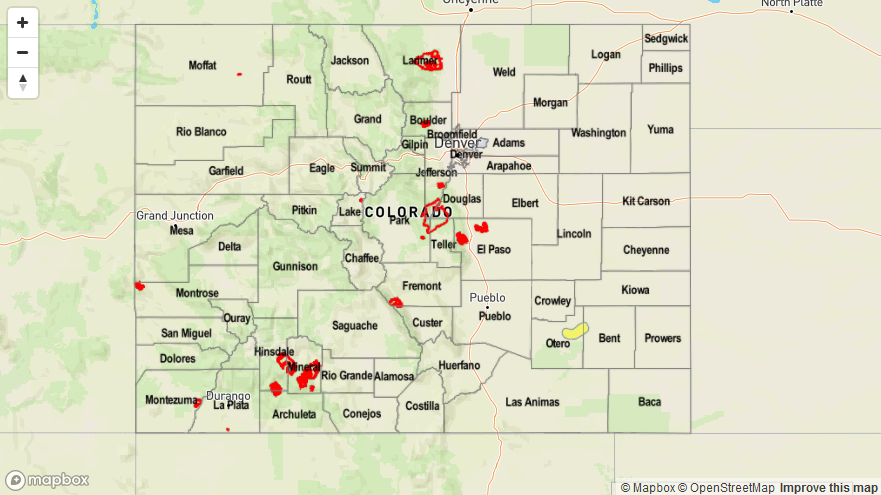
Today’s Flood Threat Map
For more information on today’s flood threat, see the map below (hover over threat areas for more details). For Zone-Specific forecasts, scroll below the map.

Zone-Specific Forecasts:
Northeast Plains, Urban Corridor, Front Range:
Mostly sunny early then isolated to scattered thunderstorms developing by mid-afternoon. Max 30-minute rainfall up to 0.7 inches towards the foothills, and up to 1.1 inches farther east. Large hail up to 2.5 inches, gusty winds up to 75mph and tornadoes will all be possible with the strongest cells. However, heavy rainfall is expected to be brief, and a flood threat is not warranted today. Activity will quickly subside by early evening with drier air (temporarily) moving in.
Primetime: 12PM to 6PM
Palmer Ridge, Raton Ridge, Southeast Mountains, Southeast Plains:
Mostly clear early then partly cloudy with an isolated shower or storm is possible during the afternoon hours. Max 30-minute rainfall up to 0.3 inches. Flooding is not expected today.
Primetime: 12PM to 5PM
Grand Valley, Northwest Slope, Northern Mountains, Central Mountains, Southwest Slope, San Juan Mountains, San Luis Valley:
Becoming partly cloudy and cooler today with an isolated shower or storm not out of the question, especially towards the Wyoming border. Max 1-hour rainfall up to 0.3 inches. An elevated fire danger will continue today, with gusty winds, low relative humidity and dry lightning acting in tandem. Stay tuned to local National Weather Service forecasts for more detailed information regarding fire activity.