Issue Date: Tuesday, July 18, 2017
Issue Time: 10:35AM MDT
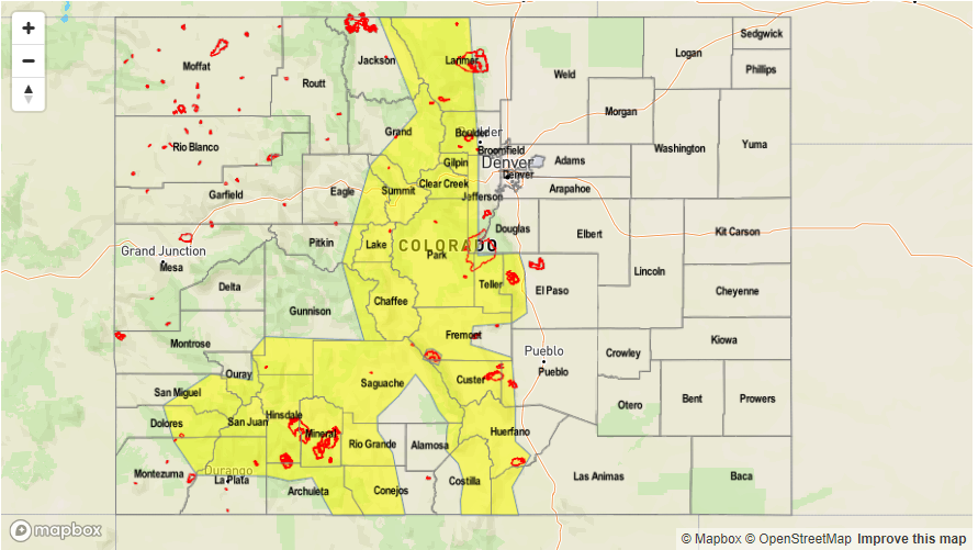
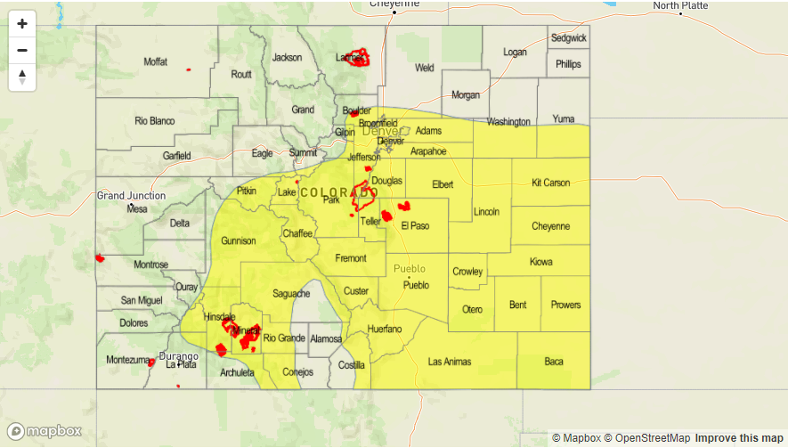
—MODERATE flood threat for Northeast Plains, Southeast Mountain burn scars
—LOW flood threat for portions of the Front Range, Urban Corridor, Palmer Ridge, Northeast Plains
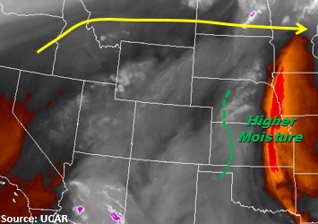
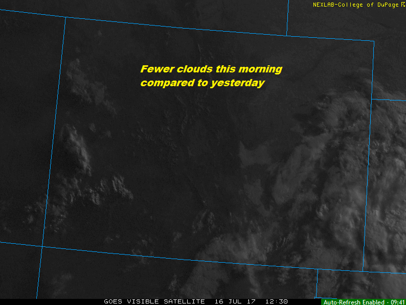
The ridge starts to build a bit north today but Westerlies will remain in place over the northern portion of the state. The showers over northwest CO will begin to move to the northeast and dissipate later this morning. Partly cloudy skies will be left in its wake and cooler high temperatures for this portion of the state. As temperatures being to heat up for the day, upslope flow will set up and trigger thunderstorms in the high country and a few isolated storms over the Palmer Divide. Storms in the central mountains and San Juan Mountains will have max 1-hr rain rates up to 0.75 inches. Precipitable Water values will increase over the Northeast Plains to over 1 inch this afternoon. Over Front Range and Southeast Mountains, there will be better access to this moisture for the slow moving storms. A Moderate flood threat has again been placed over burn scars over in the Southeast Mountains due to sufficient confidence storms that form will produce over 0.5 inches per hour. There is also a Low threat over the Front Range and Palmer Ridge intersect that will provide ample lift for storms in a moisture friendly environment. Storms that form will produce flash flooding, gusty winds and small hail. Threats include mud slides, debris flows, urban and small stream flash flooding.
Over the Northeast Plains, a Moderate flood threat has been issued due to the high moisture and stronger dynamics this afternoon. Some isolated thunderstorms will form along a surface boundary near the NE and KS borders. Storm motion will be to the south/southeast. There will be moderate instability that will build throughout the day with the boundary triggering the storms early this evening. Some shear will exist helping sustain the thunderstorms. Max 1-hr rain rates up to 2.2 inches are forecasted accompanied by strong winds, heavy rain and hail up to 1 inch in diameter. 3-hour totals up to 3.3 inches will be possible. Threats include field ponding, small stream flooding and localized street flooding.
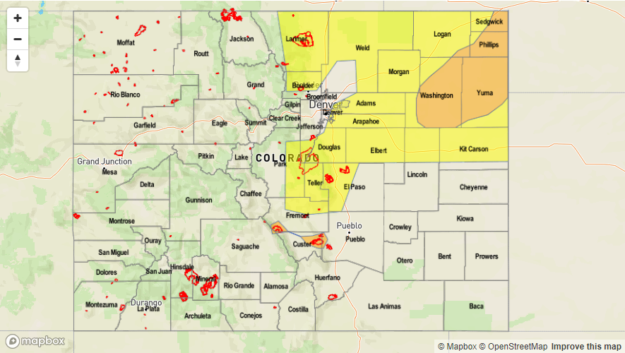
Today’s Flood Threat Map
For more information on today’s flood threat, see the map below (hover over threat areas for more details). For Zone-Specific forecasts, scroll below the map.

Zone-Specific Forecasts:
Northwest Slope, Grand Valley, Northern Mountains, Central Mountains, Southwest Slope, San Juan Mountains, San Luis Valley, Raton Ridge:
Partly cloudy today over the NW portion of the state as the disturbance moves to the northeast. Isolated showers will form over the higher terrain this afternoon. Higher rain rates will be confined to the Central and Southern Mountains with rain rates up to 0.75 inches per hour. Storms will have gusty winds and small hail. There is no flood threat for today.
Primetime: 12PM to 1AM
Front Range, Urban Corridor, Northeast Plains, Palmer Ridge, Southeast Mountains, Southeast Plains:
Sunny this morning becoming partly cloudy this afternoon as storms begin to form over the higher terrain and Palmer Divide. Storms will have rain rates up to 1.2 inches per hour in the mountains and adjacent plains. Due to saturated soils, flash flooding, small stream flooding, mudslides and debris flows are possible today over burn scars. A Moderate threat has been issued over the burn scars on the SE Mountains due to sufficient confidence storms that form will have rain rates greater than 0.5 inches. A Moderate threat is also in place over the Northeast Plains where a surface boundary will trigger storms early this evening. Max 1-hr rain rates up to 2.2 inches can be expected with these storms with 3-hr totals of 3.3 inches.
Primetime: 12PM to 1AM