Issue Date: 6/27/2018
Issue Time: 7:25 AM
NO FLOOD THREAT IS FORECAST TODAY.
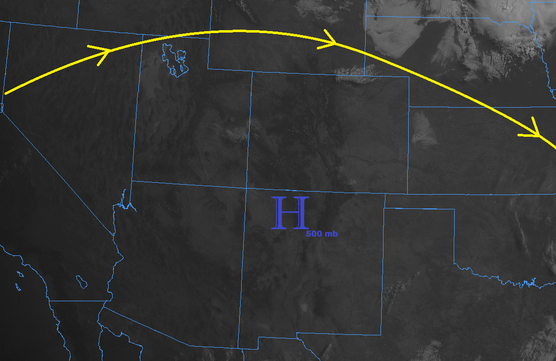
The main story today will be the hot temperatures underneath the strong high pressure ridge that has settled over the region. High temperatures will be a degree or two warmer, with a swath of 100+ degree high temperatures blanketing the Arkansas River valley in the Southeast Plains. If you must be outside today, it will be important to take plenty of water breaks and find shade when possible.
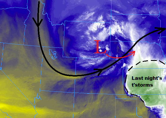
Respite from the otherwise hot day will come in the form of isolated afternoon/evening thunderstorms over portions of central and eastern Colorado. Over the higher terrain of the Northern Mountains, Central Mountains, and Southeast Mountains, a couple isolated thunderstorms are expected as strong daytime heating works alongside orographic forcing. The lack of moisture in these regions will lead to gusty winds, virga, and lightning, with very little (if any) rainfall.
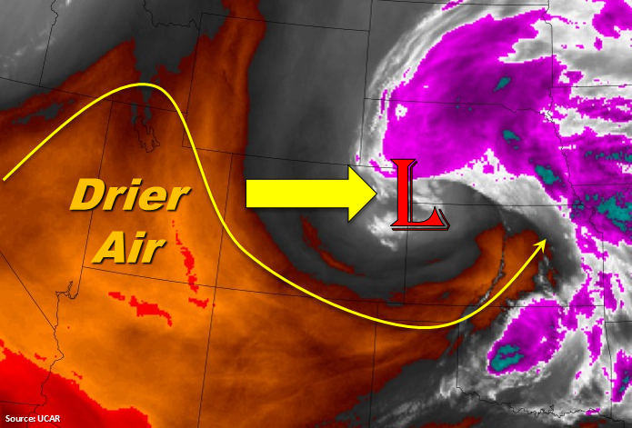
A weak surface boundary will ease its way through northeastern Colorado, settling just south of the Palmer Ridge this afternoon. Upslope flow behind the front will allow for shallow moisture to work back into Colorado, providing just enough fuel for strong daytime heating to produce isolated thunderstorms. Thunderstorms will produce more wind and lightning than rain due to the dry low-levels, so no flood threat is warranted. Strong winds up to 60 mph and small hail will be the most that the strongest storms can muster.
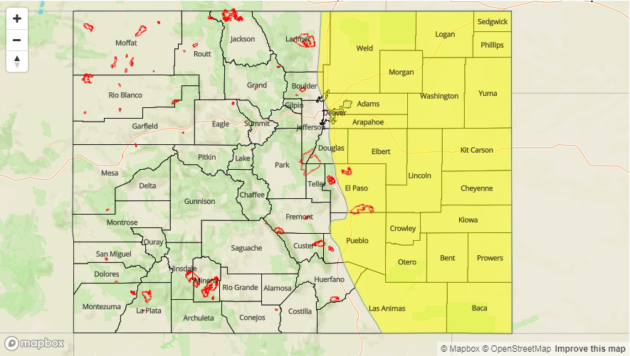
Today’s Flood Threat Map
For more information on today’s flood threat, see the map below (hover over threat areas for more details). For Zone-Specific forecasts, jump below the map.


Zone-Specific Forecasts
Front Range, Urban Corridor, Palmer Ridge, Northeast Plains, Raton Ridge, and Southeast Plains:
Hot temperatures and abundant sunshine will be the main weather story today, as the mercury climbs a few degrees higher than yesterday. A weak surface boundary will ease through northeastern Colorado and settle over/near the Palmer Ridge, with upslope flow behind the front bringing an increase in shallow moisture. This will provide the fuel for a few isolated thunderstorms this afternoon and evening over the Front Range, Urban Corridor, Palmer Ridge, Northeast Plains, and northernmost portions of the Southeast Plains. Strong winds and lightning will be the main impact from thunderstorms as the low-levels remain too dry for heavy rainfall. One or two storms will become strong-to-severe, producing strong winds up to 60 mph and small hail. Maximum rain rates are as follows:
Front Range: 0.05-0.15 inches/hour
Urban Corridor, Palmer Ridge, and Southeast Plains: 0.2-0.4 inches/hour
Northeast Plains: 0.25-0.5 inches/hour
Timing: 2 PM – 8 PM for the Front Range and Urban Corridor, 3 PM – 10 PM for the Palmer Ridge and northern portions of the Southeast Plains, and 3 PM – Midnight for the Northeast Plains
Northwest Slope, Northern Mountains, Central Mountains, Southeast Mountains, Grand Valley, San Juan Mountains, San Luis Valley, and Southwest Slope:
Hot and dry, with plenty of sunshine to go around. High temperatures will nudge a degree or two higher than yesterday’s readings, with lower valleys near the CO/UT border reaching into upper 90s and low 100s. Red Flag Warnings have been issued for this afternoon and evening across much of the area, so be sure to check with your local NWS office for more information.
During the afternoon and early evening hours, a couple isolated thunderstorms will develop over the higher terrain of the Central Mountains, Southeast Mountains, and Northern Mountains regions thanks to strong daytime heating. Owing to the lack of moisture present, this activity will produce virga, gusty winds, and lightning, but very little (if any) rainfall. Rain rates will remain below 0.1 inches/hour.
Timing: 1 PM – 7 PM