STP 07-13-2015: High Country Favored for Isolated-to-Scattered Thunderstorms

Issue Date: Monday, July 13th, 2015
Issue Time: 9:00 AM MDT

Summary:

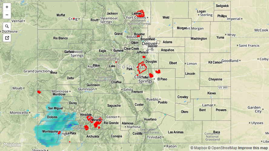
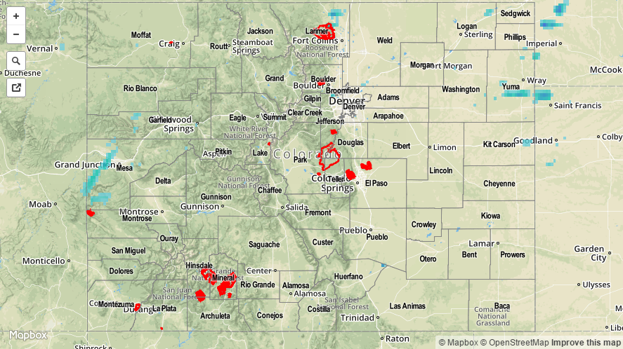
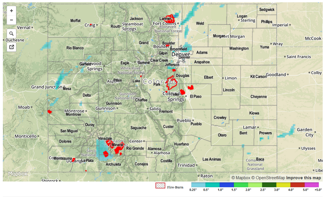
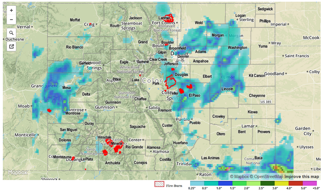
Yesterday started off cool and clear before giving way to sunshine and warm temperatures. It was a very pleasant, albeit hot, day across the state to end the weekend; most thunderstorm activity favored the High Country, in particular SW Colorado. This was due to an influx of moisture over SW Colorado as a result of return flow from the high pressure ridge over the central US. Precipitable Water values climbed to near, or just over, an inch across the San Juan and Southwest Slope Regions, leading to brief heavy rainfall in those regions from scattered thunderstorms. The following are heavy rain reports from those regions:

1 inch/15 minutes: 1 mile N of Durango (La Plata County)
1 inch/15 minutes: 3 miles SE of Cortez (Montezuma County)
0.63 inches: Bayfield (La Plata County)
0.73 inches (overnight): 2 miles NW of Arriola (Montezuma County)

No flash flooding was reported.

07132015_STPImage
Storm Total Precip Legend

STP 07-12-2015: Storm Coverage Decreased For A Second Straight Day

Issue Date: 7/12/2015
Issue Time: 9:00AM

Summary:

Weather-wise, Saturday was a low key day across Colorado, a welcome break after a string of heavy rain days. High pressure budged into the state from the southeast, drying the mid and upper atmosphere and crimping thunderstorm formation. The presence of the upper-low southwest of California still allowed for small disturbances to make it into Colorado, causing scattered storm activity mainly west of the Divide. The highest 24-hour rainfall totals came in from Garfield County, where rainfall reports of 0.45 and 0.70 inches were reported. Elsewhere, thunderstorms were only able to muster rainfall up to 0.25 inches across a long list of counties mostly across western and northern Colorado.

In addition to the storms, gusty winds up to 55 mph were reported in Mesa, Rio Blanco and Garfield counties. These kinds of winds are commonly seen when a thunderstorm ingests dry air, which then evaporates some of the storm moisture and forces the newly made cold air downward towards the earth’s surface.

For 24-hour rainfall amounts in your area, be sure to check out our radar estimated rainfall map below.

20150712_STPImage
Storm Total Precip Legend

STP 07-11-2015: A Few Scattered Storms, But Mostly Drier

Issue Date: 7/11/2015
Issue Time: 9:10AM

Summary:

Compared to Thursday, Friday saw a significant decrease in both the intensity and coverage of thunderstorm activity across Colorado. West of the Divide, storms fired by early afternoon with scattered downpours across the San Juan and Grand Valley regions. However, the total rainfall amounts were limited to below about 0.7 inches. A few reports of small hail were also noted with the strongest storms.

East of the Divide, storms took most of the day to get organized and, in fact, the heaviest rainfall was observed within a few hours after sunset. Some impressive lightning producers were seen across the Urban Corridor but rainfall amounts were generally light. The one exception was a storm in Larimer County that produced about 1 inch of rain over a very isolated area. All other reports were much lower.

For 24-hour rainfall amounts in your area, be sure to check out our radar estimated rainfall map below.

STP_snapshot_20150711

STP 07-10-2015: Most Impressive Downpours Of The Season Occur Over Palmer Ridge

Issue Date: 7/10/2015
Issue Time: 9:10AM

Summary:

Ample moisture, slow storm movement and favorable dynamics conspired to produce quite an impressive heavy rain display yesterday. Storms started to form by early afternoon across the higher terrain of the San Juans, Central Mountains, Front Range and Raton Ridge. Within a couple of hours the storms moved eastward over the Plains, bringing them access to even higher moisture. By that point, there were many slow moving cells that were dumping very heavy rainfall. Rainfall amounts of 1 inch per 20 minutes were common over the Urban Corridor, Palmer Ridge and Raton Ridge. Here is a short summary:

  • The most impressive storm of the day occurred in El Paso County (seems like a broken record this season!) where an observer near Falcon noted 3.01 inches of rain in 60 minutes, along with hail accumulating up to 4 inches deep. Many other locations picked up between 1 and 2 inches of rainfall in an hour. At least two flash flooding reports were received near the Colorado Springs area. However, it was likely that almost all area creeks and streams had a short burst of intense runoff that brought them near flood stage.
  • Another heavy downpour was observed by the Urban Drainage and Flood Control District rain gage network. The gage southeast of Westminster recorded around 2.2 inches of rain in one hour. Amazingly, there was only one other gage in the vicinity that recorded over 1 inch per hour, reiterating how small-scale Colorado thunderstorms can be.
  • Torrential rainfall was also seen across the Raton Ridge. Although the rain fell over mostly rural land, void of official reports, radar estimates suggest 2-3 inches of rain fell across isolated areas of both Las Animas and Baca Counties.

Observed 24-hour rainfall totals were highest near the Falcon storm where almost 4 inches of rain occurred! Meanwhile, a long list of counties received over 1 inch of rainfall, adding to the incredibly active summer that we have seen. In all, almost two dozen flood and severe weather warnings were issued by the National Weather Service offices covering Colorado.

For 24-hour rainfall amounts in your area, be sure to check out our radar estimated rainfall map below.

STP_snapshot_20150710