Issue Date: 7/12/2015
Issue Time: 9:00AM
Summary:
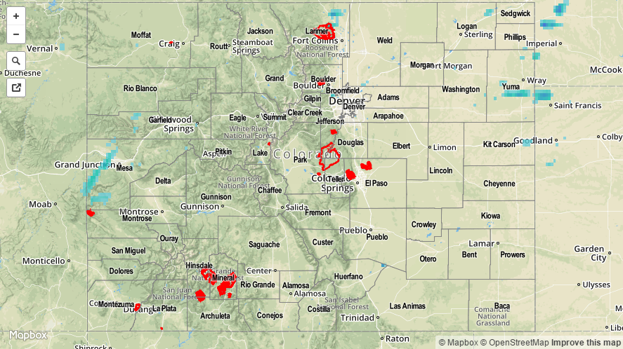
Weather-wise, Saturday was a low key day across Colorado, a welcome break after a string of heavy rain days. High pressure budged into the state from the southeast, drying the mid and upper atmosphere and crimping thunderstorm formation. The presence of the upper-low southwest of California still allowed for small disturbances to make it into Colorado, causing scattered storm activity mainly west of the Divide. The highest 24-hour rainfall totals came in from Garfield County, where rainfall reports of 0.45 and 0.70 inches were reported. Elsewhere, thunderstorms were only able to muster rainfall up to 0.25 inches across a long list of counties mostly across western and northern Colorado.
In addition to the storms, gusty winds up to 55 mph were reported in Mesa, Rio Blanco and Garfield counties. These kinds of winds are commonly seen when a thunderstorm ingests dry air, which then evaporates some of the storm moisture and forces the newly made cold air downward towards the earth’s surface.
For 24-hour rainfall amounts in your area, be sure to check out our radar estimated rainfall map below.