Issue Date: Saturday, July 25th, 2015
Issue Time: 9:00 AM MDT
Summary:
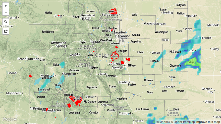
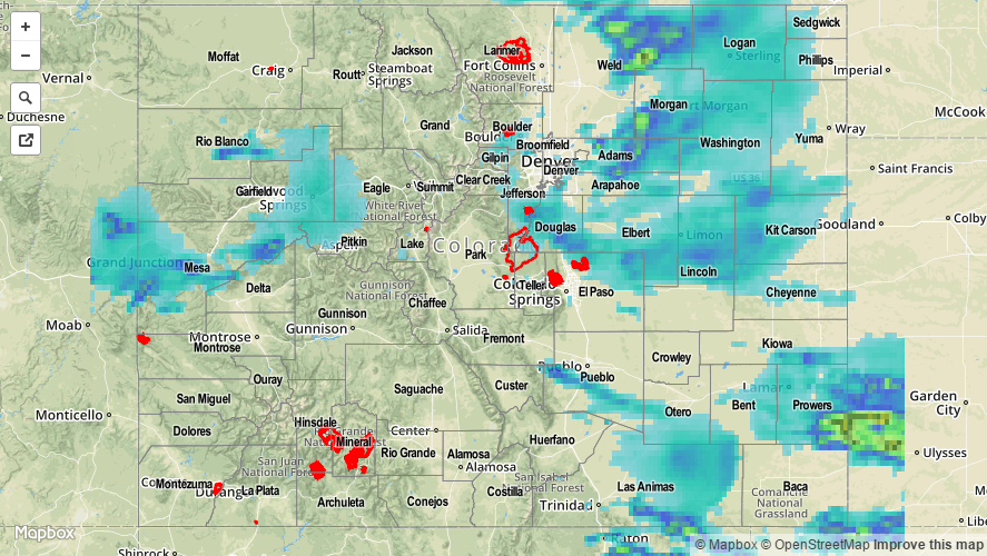
More subtropical moisture was pulled into Colorado yesterday, resulting in fairly abundant high- and mid-level clouds across the High Country and portions of the lower elevations of Eastern Colorado. The cloud cover limited instability, which resulted in showers and weak thunderstorms that didn’t produce much more than light rain. The exception was across far eastern Colorado, where a bit more sunshine combined with a surface convergence zone to develop stronger thunderstorms. One thunderstorm in particular reached severe threshold by producing 1.5 inch hail, 12 miles N of Burlington (Kit Carson County).
As far as rainfall observations are concerned, most locations reported less than 0.1 inches of rainfall. Cheyenne County had the highest report of the day at 1.68 inches. Some of the other higher reports include:
Summit County: 0.39 inches
Gunnison County: 0.38 inches
Lake County: 0.27 inches
Kit Carson County: 0.25 inches
Ouray County: 0.21 inches
No flash flooding was reported.