Issue Date: Friday, July 24th, 2015
Issue Time: 9:00 AM MDT
Summary:
Upper-level high pressure built overhead yesterday, filtering drier air into much of Colorado. With drier air in place and no obvious disturbances to trigger storms, the result was a mostly sunny and hot day. Southern and Central Mountains experienced a couple isolated, weak thunderstorms which produced more gusty winds and lightning than rain. Near the CO/KS border, a few isolated thunderstorms were generated by a surface trough and a corridor of low-level moisture. These storms produced the best rain of the day, but the real story was the large hail. Check out the following storm reports:
2 inch hail: 7 miles SSE of Bethune (Kit Carson County)
1.75 inch hail: 6 miles S of Burlington (Kit Carson County)
1.0 inch hail: 5 miles SSW of Burlington (Kit Carson County)
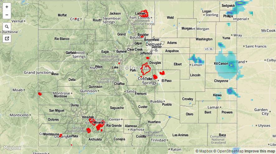
Due to the large hail that fell from the storms near the CO/KS border, those precipitation estimates have been contaminated and a bit over-estimated in the Storm Total Precipitation map below.
No flash flooding was reported.