STP 08-06-2015: Mostly Sunny and Hot, Only a Couple Isolated Thunderstorms

Issue Date: Thursday, August 6th, 2015
Issue Time: 9:00 AM MDT

Summary:

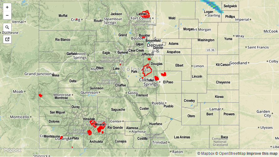
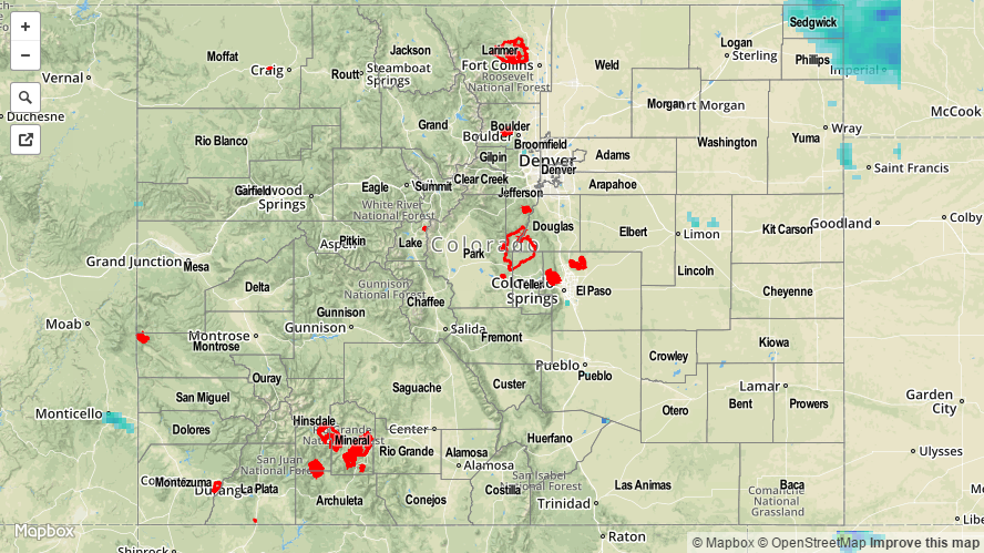
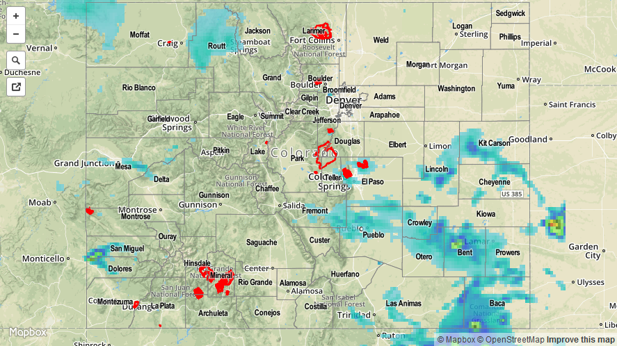
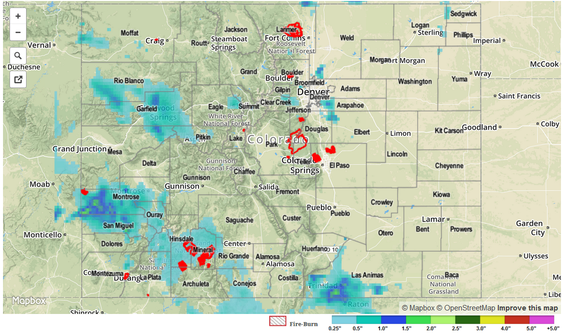
Upper-level ridging and a drying atmosphere suppressed nearly all thunderstorm potential yesterday, leading to a sunny and seasonably hot day across Colorado. A couple of isolated thunderstorms tried to develop over the mountains, but were quickly squashed and led to very little precipitation. Elsewhere, the “storm of the day,” if you will, occurred over Logan County in northeast Colorado; it produced a couple reports of 1-1.5 inch hail and brief light-to-moderate rainfall.

No flash flooding occurred yesterday.

08072015_STPImage
Storm Total Precip Legend

STP 08-05-2015: Drier Overall in the Wake of Monday’s Disturbance

Issue Date: Wednesday, August 5th, 2015
Issue Time: 9:00 AM MDT

Summary:

A seasonably hot and dry day characterized the majority of Colorado’s weather yesterday as subsidence in the wake of Monday’s disturbance overspread the state. Precipitable Water values fell below an inch at the four normal reporting stations (Boulder, Grand Junction, Pueblo, and Shriever AFB), resulting in fairly low rain rates from any isolated showers/thunderstorms. It was a nice break after an active couple of days.

The Northeast Plains saw a strong, isolated thunderstorm impact Yuma County during the afternoon hours. The lone storm report of the day came from this storm, as it produced 1 inch hail 9 miles SSE of Beecher Island, at approximately 2:30 PM.

No flash flooding was observed.

20150805_STPImage
Storm Total Precip Legend

STP 08-04-2015: Multiple Waves Of Showers And Storms Crossed The State

Issue Date: 8/4/2015
Issue Time: 9:25AM

Summary:

A vigorous atmospheric disturbance skirted across western Colorado, using monsoon moisture to fuel scattered to widespread thunderstorm activity for most areas except for the Northeast Plains. The first wave of thunderstorms began shortly after noon in the Southeast Plains and Northwest Slope. By mid-afternoon, heavy rainfall was being reported over many locales. Some of the more impressive 24-hour totals were 2.75 inches in Bent County, 1.14 inches in Pueblo County and just under 1 inch in Routt County (an observer reported about 0.35 inches in 15 minutes falling near Steamboat Springs). A long list of counties saw very short-term heavy rainfall that amounted to anywhere between 0.5 to 0.9 inches. A flash flood report came in from Cheyenne County around 5PM, as water was flowing over a road.

A second wave of thunderstorms developed over the Southwest Slope where short-term heavy rainfall was noted, along with 1 inch hail and even several funnel reports. A flash flood report was received from Dolores County where up to 2 inches of rainfall may have fallen over a very localized area. A separate wave of storms developed over the Southeast Mountains, and moved eastward producing heavy rainfall over a 15-30 minute period of time.

In all, about 14 warnings and advisories were issued by the National Weather Service offices covering the state. Of these, all but one were flash flood / flood related. Certainly another busy weather day across our state.

For an estimate of 24-hour rainfall that occurred in your area, please check out our radar based map below. Note that because a radar’s beam cannot penetrate through mountainous terrain, rainfall amounts in the Flat Top, Park and Gore mountain ranges may be underestimated.

08042015_STPImage
Storm Total Precip Legend

STP 08-03-2015: Widespread Rain Is Always Welcome In Colorado

Issue Date: 8/3/2015
Issue Time: 9:00AM

Summary:

Here in Colorado, most of our summertime rainfall tends to occur from scattered, hit-or-miss thunderstorms. On Sunday, rainfall was more of a “hit” variety over the Western and Central parts of the state thanks to a mid-level disturbance combined with a long-lasting monsoon surge. In all, rainfall amounts of 0.5 to 1 inch were common across the western counties of Dolores, San Miguel, Ouray, Montrose La Plata, Hinsdale, Garfield, Rio Blanco and Mesa. Fortunately, though the flood threat was elevated, only one official report of flooding came in: street flooding was observed in Naturita (Montrose County). While this is the only official report, it should be noted that much of the rain fell over sparsely populated, mountainous terrain making it difficult to capture all the possible impacts.

Meanwhile, east of the Continental Divide, rainfall came from scattered thunderstorms. Several impressive storms were seen across Arapahoe, Douglas, Elbert, Weld and Las Animas. Intense but short-lasting (30-45 minutes) rainfall was common, resulting in 24-hour totals up to 1.5 inches.

For an estimate of 24-hour rainfall that occurred in your area, please check out our radar based map below. Note that because a radar’s beam cannot penetrate through mountainous terrain, rainfall amounts in the San Juan Mountains (especially their south faces) are likely underestimated.

STP_snapshot_20150803