Issue Date: 8/3/2015
Issue Time: 9:00AM
Summary:
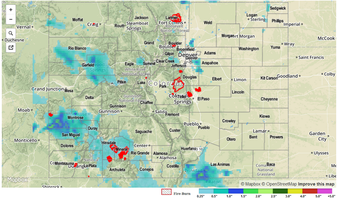
Here in Colorado, most of our summertime rainfall tends to occur from scattered, hit-or-miss thunderstorms. On Sunday, rainfall was more of a “hit” variety over the Western and Central parts of the state thanks to a mid-level disturbance combined with a long-lasting monsoon surge. In all, rainfall amounts of 0.5 to 1 inch were common across the western counties of Dolores, San Miguel, Ouray, Montrose La Plata, Hinsdale, Garfield, Rio Blanco and Mesa. Fortunately, though the flood threat was elevated, only one official report of flooding came in: street flooding was observed in Naturita (Montrose County). While this is the only official report, it should be noted that much of the rain fell over sparsely populated, mountainous terrain making it difficult to capture all the possible impacts.
Meanwhile, east of the Continental Divide, rainfall came from scattered thunderstorms. Several impressive storms were seen across Arapahoe, Douglas, Elbert, Weld and Las Animas. Intense but short-lasting (30-45 minutes) rainfall was common, resulting in 24-hour totals up to 1.5 inches.
For an estimate of 24-hour rainfall that occurred in your area, please check out our radar based map below. Note that because a radar’s beam cannot penetrate through mountainous terrain, rainfall amounts in the San Juan Mountains (especially their south faces) are likely underestimated.