Issue Date: Wednesday, August 26th, 2015
Issue Time: 9:00 AM MDT
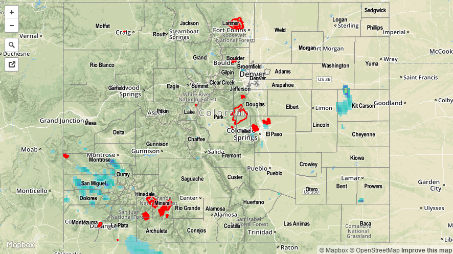
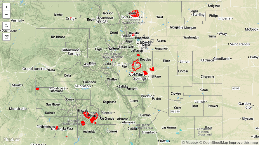
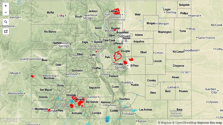
Summary:
The upper-ridge shifted ever so slightly to the east yesterday, allowing more moisture to return to Colorado. The increase in moisture helped to fuel an uptick in thunderstorm coverage, as well as more efficient rainfall production to said thunderstorms. Brief, locally heavy rainfall was observed under the strongest storms, but no flash flooding issues were reported. From CoCoRaHS observers, the following counties were the big winners with rainfall reports:
El Paso County: 0.47 inches
La Plata County: 0.32 inches
Gunnison County: 0.13 inches
Douglas County: 0.12 inches
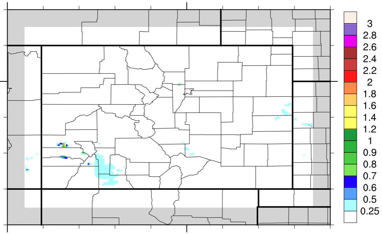
Be sure and check the STP map below for a statewide overview on rainfall totals.