Issue Date: 8/24/2015
Issue Time: 8:55AM
Summary:
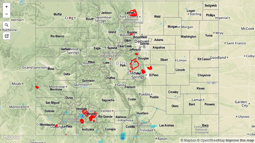
For the second time in just a week, high temperatures struggled to get out of the 70s across even the lower elevations of Colorado. This was courtesy of a strong fall-like cool front that passed through the state on Saturday afternoon. While a majority of the state stayed dry, some residual monsoon moisture made its way northward out of New Mexico and affect the far southern tier of Colorado. Due to very limited instability, thundershowers that did form had a hard time producing much rainfall. A few lucky locations in the San Juans and Southeast Mountains did manage to receive up to about 0.6 inches of the 24-hour period ending this morning. However, maximum 1-hourly rain rates were probably more in the 0.3 to 0.4 inch range. Nonetheless, in Colorado, we are happy with every drop of rain we can get.
Meanwhile, for the fifth consecutive day in a row, we were treated to a vibrant red-orange sunset as haze from the Pacific Northwest wildfires continued to stream into the mid and upper-atmosphere. Fortunately, a change in the pattern suggests that wildfire activity may slowly subside as rainfall chances are now in the forecast for parts of the affected areas.
Flooding was not reported yesterday. For estimated rainfall in your area, check out radar-estimated map below.