Issue Date: 8/23/2015
Issue Time: 8:50AM
Summary:
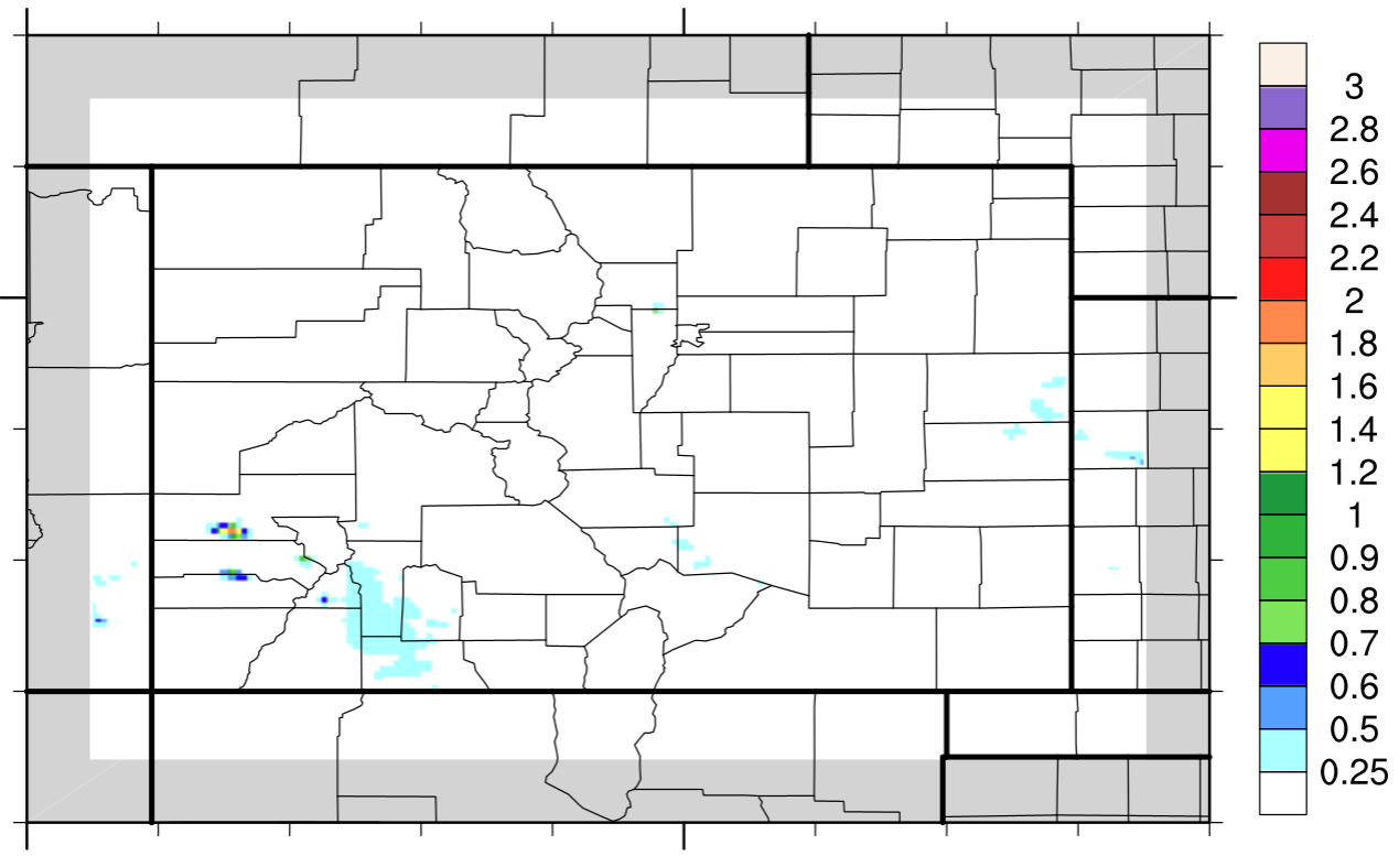
Another strong cool front, the second in the last week, made its way southward across eastern Colorado on Saturday. Although the atmospheric dynamics were quite impressive, the end result was a weak thunderstorm or two and some scattered showers. Max rainfall east of the Continental Divide was limited to about 0.2 inches. The atmosphere was too dry to support anything more. But gusty winds, up to 45 mph, made the cool front passage feel more like fall. Meanwhile, residual moisture created enough instability for some weak showers and thunderstorms across the Southwest Slope, Grand Valley and San Juan Mountain regions. Though dewpoint temperatures were only in the 30s and low 40s, the thunderstorms persevered to deliver as much as 0.5 inches of rainfall over localized areas. Pea-size hail was also reported with at least two separate storms.
The aforementioned cool front passage, combined with a shift in the direction of the mid and upper-level wind flow, helped to reduce some of the haze that has made to Colorado from the Pacific Northwest. Nonetheless, at least some particulate matter still remained in the atmosphere, as can be attested for by the vibrant red and orange sunset.
Flooding was not reported yesterday. For estimated rainfall in your area, check out radar-estimated map below.