STP 05-17-2016: Cool and Unsettled, Widespread Clouds/Scattered Precipitation Covered the State

Issue Date: Tuesday, May 17th, 2016
Issue Time: 9:00 AM MDT

Summary:

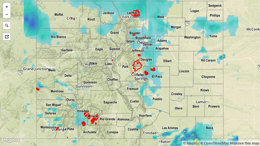
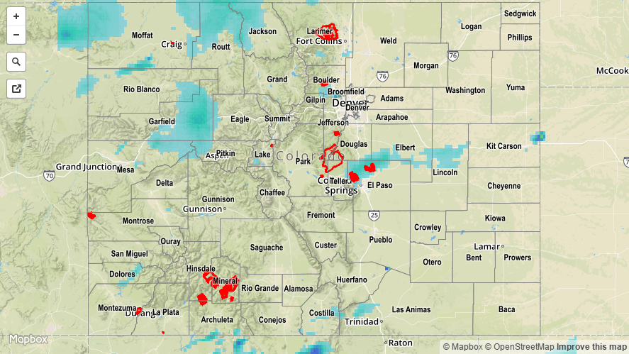
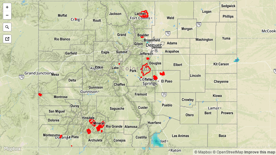
Plenty of moisture and large-scale support combined to bring a cool and gloomy day across much of Colorado. For the Southeast Plains and Raton Ridge, sufficient instability brought about strong-to-severe thunderstorms, producing hail, gusty winds, and heavy rain. Across the far southeast corner of the state, radar estimates of rainfall exceeded 1.5 – 2 inches associated with those stronger thunderstorms. Persistent showers/embedded thunderstorms elsewhere across the state brought about elevated precipitation totals without the intensity of the severe thunderstorms, and the flash flood threat was limited. Snow was reported across multiple mountain passes, but road impacts were minimal. A few showers and weak thunderstorms lingered through the night and continue this morning.

Rainfall winners, according to CoCoRaHS observers (reports as of 7:00 AM MDT):

Larimer County: 1.06 inches
Moffat County: 1.02 inches
Denver County: 0.82 inches
Weld county: 0.81 inches
Arapahoe County: 0.78 inches
Douglas County: 0.76 inches
Teller County: 0.75 inches
Pueblo County: 0.70 inches
Adams County: 0.70 inches

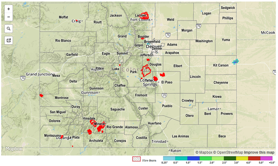
No flash flooding was reported yesterday. For a look at 24-hour precipitation, please see the STP map below.

20160517_STPImage
Storm Total Precip Legend

STP 05-16-2016: Rainfall Coverage Increases as Upper-Level Low Shifts Closer

Issue Date: Monday, May 16th, 2016
Issue Time: 9:00 AM MDT

Summary:

Weak high-pressure aloft shifted eastward yesterday, pushing the ridge axis east of Colorado. This allowed moisture to increase, with precipitable water values reaching well above average for this time of year. Most of this moisture existed well above the surface, with the lower levels of the atmosphere remaining fairly dry. This supported more of a gusty wind threat than heavy rain threat, and rainfall totals bear this out. Storm motions also mitigated any potential flood threat yesterday, and no flash flooding occurred.

Rainfall winners, according to CoCoRaHS (reports as of 7:00 AM MDT):

Routt County: 0.65 inches
Gunnison County: 0.57 inches
Jefferson County: 0.47 inches
Eagle County: 0.42 inches
El Paso County: 0.38 inches
Elbert County: 0.36 inches

For a look at 24-hour precipitation, please see the STP map below.

20160516_STPImage
Storm Total Precip Legend

STP 05-15-2016: Cool To The East, Warm To The West

Issue Date: Sunday, May 15th, 2016
Issue Time: 9:10 AM MDT

The Continental Divide is not just a mountain barrier that separates hydrologic basins. Often times, it also has a strong influence on weather patterns. Such was the case on Saturday when stubborn low clouds held their ground east of the Divide, while sunshine was the norm over the higher terrain and western Colorado. The strong May sunshine resulted in a quick emergence of cumulus clouds, which then transitioned to widely scattered showers and even an isolated thunderstorm. However, with negligible instability and unfavorable mid and upper-level dynamics, precipitation amounts stayed light. Between 0.1 and 0.2 inches were observed across lucky locations over the Palmer Ridge, Southeast Mountains, San Luis Valley and Southwest Slope. A weak thunderstorm was noted over Delta, CO through its generation of 60 mph wind gusts that “knocked down a 35 to 40 foot tall healthy cottonwood tree” according to a local storm report.

For specific rainfall estimates in your area, please check our STP map below.

20160515_STPImage
Storm Total Precip Legend

STP 05-14-2015: Friday the 13th turns out pleasant, and uneventful

Issue Date: Saturday, May 14th, 2016
Issue Time: 9:20 AM MDT

Summary:

Colorado was located between a strong trough to our east, and a weak ridge to our west on Friday the 13th. With no moisture feed and little to no dynamics, almost everyone stayed dry. The most eventful part of the day was a cool front that surged southward east of the Divide, kicking up wind gusts up to 30 mph. Intermittent and spotty drizzle and shower activity accompanied the front, squeezing out up to 0.1 inches of precipitation across the higher elevations of the Front Range between Denver and Fort Collins, as well as parts of the Palmer Ridge. Interestingly, a very large temperature range was noted across the state during the early afternoon. Behind the front, dreary low clouds kept temperatures in the mid 40s near the Nebraska border. Meanwhile, the southeast part of the state was basking in the sun with low 80s common. Typical Colorado fashion!

May_tempanom_HPRCC

Taking a step back, the map above obtained from the High Plains Regional Climate Center, shows that it has been a cool start to May thus far across our state with temperatures running about 2-5F below normal. This has put a lid on snowmelt rates, with most sites above 10,000 feet either maintaining or very slowly adding to the already sizeable end of season snowpack.
STP_20160514