STP 05-21-2016: Warming and Drying Trend Continued

Issue Date: Saturday, May 21st, 2016
Issue Time: 9:00 AM MDT

Summary:

Ridging aloft yesterday brought about an uptick in high temperatures and a downtick in thunderstorm coverage. Most areas remained mostly sunny and dry yesterday, while isolated showers/thunderstorms stayed mainly over/near the higher terrain. Storms were high-based, with the main impacts being gusty winds, occasional lightning, and light rainfall.

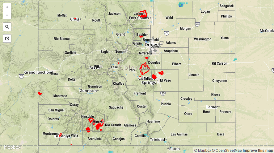
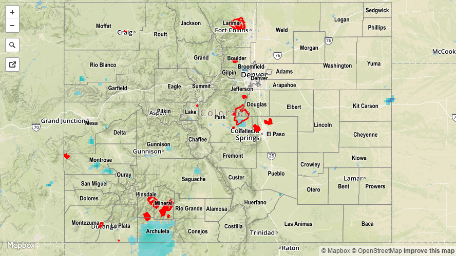
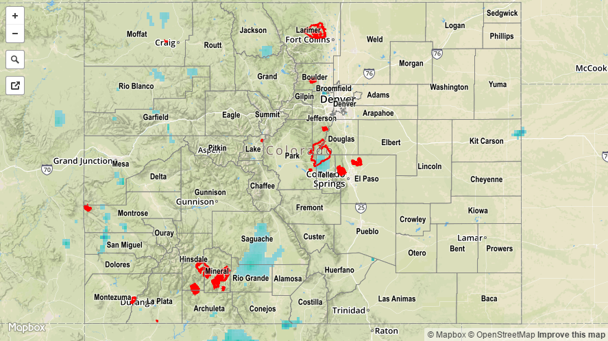
No flash flooding occurred yesterday. Please see the STP map below for a look at 24-hour precipitation totals.

20160521_STPImage
Storm Total Precip Legend

STP 05-20-2016: Warmer and Drier Overall, Just a Few Widely Scattered Showers/Storms

Issue Date: Friday, May 20th, 2016
Issue Time: 9:00 AM MDT

Summary:

An upper-level ridge pushed into the state yesterday, providing a weakly subsident air mass while ringing out a bit of the atmospheric moisture. A few widely scattered showers/weak thunderstorms were able to get going during the afternoon and evening hours, mainly over and near the higher terrain, generally producing light rain and gusty winds. Most CoCoRaHS rainfall reports from yesterday are below 0.02 inches, with a few higher totals (as of 7:15 AM):

La Plata County: 0.27 inches
Saguache County: 0.12 inches
Alamosa County: 0.11 inches
Pueblo County: 0.06 inches
Larimer County: 0.06 inches
Teller County: 0.06 inches

No flash flooding occurred yesterday. For a look at 24-hour precipitation, please see the STP map below.

20160520_STPImage
Storm Total Precip Legend

STP 05-19-2016: Rain Mainly Stayed Over/Near the Higher Terrain, Snow on the Peaks

Issue Date: Thursday, May 19th, 2016
Issue Time: 9:00 AM MDT

Summary:

Weak, upper-level support worked on sufficient moisture to produce another day of scattered showers/weak thunderstorms, mainly over the higher terrain. Due to the cool nature of the airmass, rain rates were limited to the low end of the scale. Elevations above ~9,000 feet received mainly snow, resulting in a couple inches of accumulation. Showers diminished quickly after sunset, with only an isolated few over the higher terrain lingering until midnight.

No flash flooding occurred yesterday. For a look at 24-hour precipitation, please see the STP map below.

20160519_STPImage
Storm Total Precip Legend

STP 05-18-2016: Another Cool Day as the Unsettled Period Continued

Issue Date: Wednesday, May 18th, 2016
Issue Time: 9:00 AM MDT

Summary:

Much of the state remained under cloudy skies yesterday as the upper-level trough continued its slow progression to the east. In general, the High Country received the best coverage of showers and thunderstorms, thanks to being underneath the best upper-level support. Upslope flow across eastern Colorado helped support scattered showers/weak thunderstorms over the foothills and adjacent plains, while isolated showers dotted locations further east. Rain rates were not high enough to cause any flash flooding issues as the atmosphere remained too cool/stable.

Rainfall winners, according to CoCoRaHS observers (reports as of 7:00 AM MDT):

Mesa County: 0.81 inches
Pueblo County: 0.42 inches
El Paso County: 0.32 inches
Rio Grande County: 0.30 inches
La Plata County: 0.30 inches
Alamose County: 0.26 inches

A Flood Advisory has been issued/continues for the Cache La Poudre River near Greeley, and the South Platte River near Kersey, due to the past few days of rain combined with high country snow melt. Overflow in low-lying areas is only concern as the river levels are well below flood stage. For a look at 24-hour precipitation, please see the STP map below.

20160518_STPImage
Storm Total Precip Legend