Issue Date: Thursday, May 19th, 2016
Issue Time: 9:00 AM MDT
Summary:
Weak, upper-level support worked on sufficient moisture to produce another day of scattered showers/weak thunderstorms, mainly over the higher terrain. Due to the cool nature of the airmass, rain rates were limited to the low end of the scale. Elevations above ~9,000 feet received mainly snow, resulting in a couple inches of accumulation. Showers diminished quickly after sunset, with only an isolated few over the higher terrain lingering until midnight.
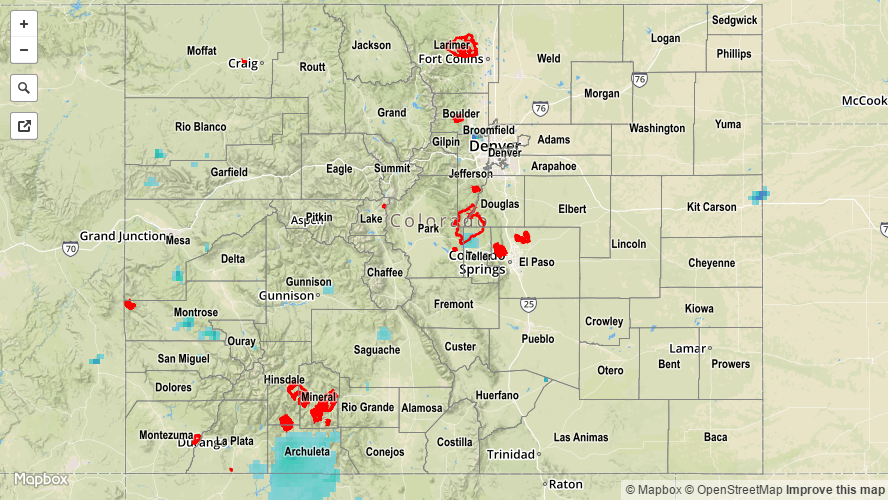
No flash flooding occurred yesterday. For a look at 24-hour precipitation, please see the STP map below.