STP 07-24-2016: Plume of Deep Moisture Remained for Another Unsettled Period

Issue Date: Sunday, July 24th, 2016
Issue Time: 9:00 AM MDT

Summary:

An upper-level shortwave moving across the Northern Rockies flattened the upper-level high across the southern US, turning the flow aloft more west-southwesterly above Colorado. Drier air pushed in from the west-northwest, but was only able to make a dent in the moisture over northwestern regions of the state. Elsewhere, deep moisture remained, both as a combination of subtropical moisture plume from the southwest and residual moisture from previous days’ rainfall. This “fuel” combined with the presence of daytime heating and weak upper-level support brought another day of scattered showers and thunderstorms to much of the state.

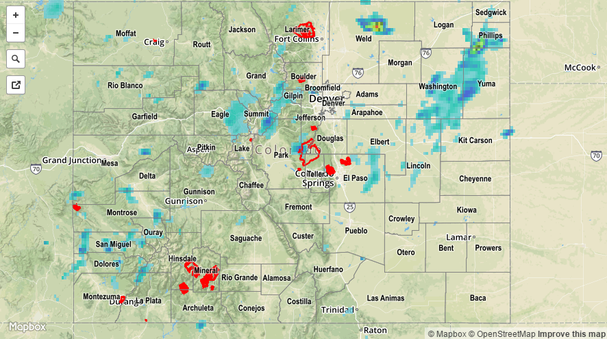
Across the plains, a mesoscale convective system (MCS) developed and moved eastward, producing periods of heavy rain, strong winds, and lightning. Storm reports from NWS-Pueblo included 1.08 inches of heavy rain (4 miles S of Cheraw, Otero County), 59 mph thunderstorm wind gust (4 miles S of Cheraw, Otero County), tree damage (3 miles ENE of Wiley, Prowers County), and a thunderstorm wind gust of 52 mph (4 miles WSW of Lamar, Prowers County).

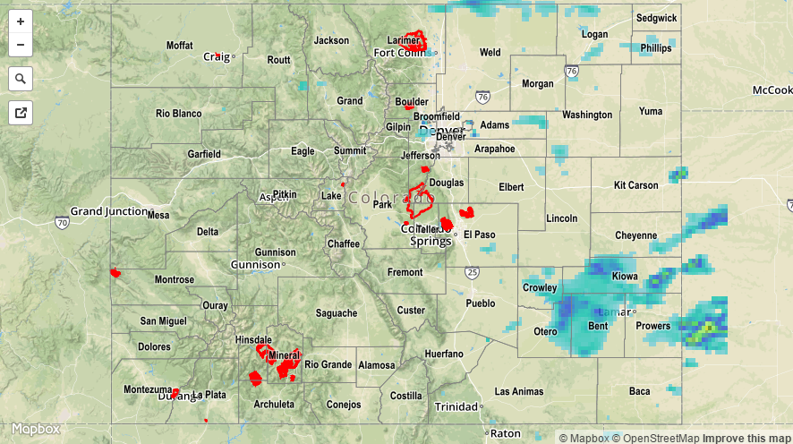
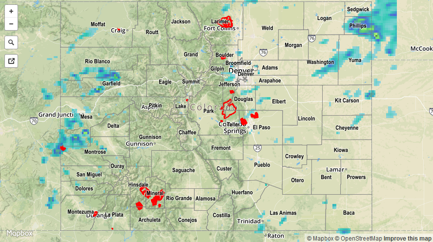
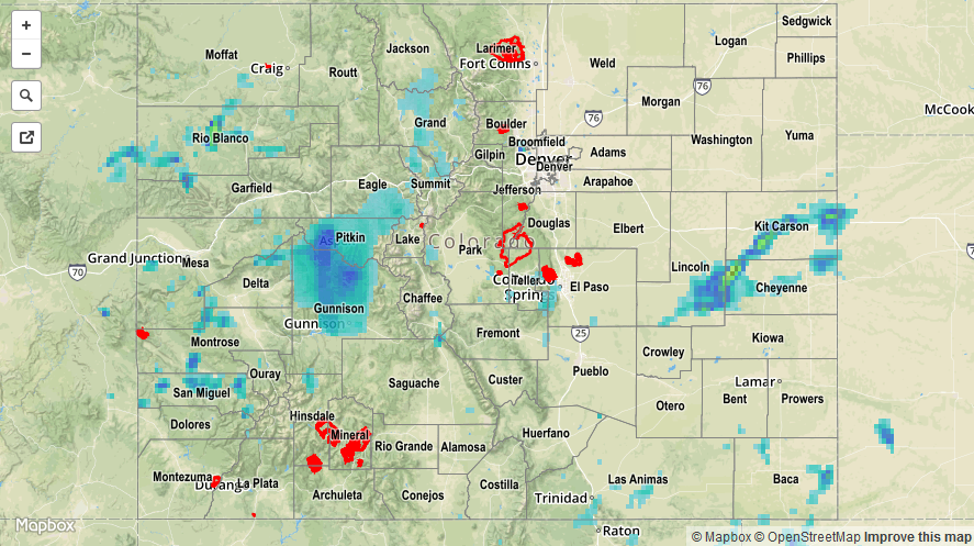
No flash flooding was reported. For a closer look at rainfall totals in your area, please see the STP map below for a look at 24-hour precipitation totals.

20160724_STPImage
Storm Total Precip Legend

STP 07-23-2016: Monsoonal Moisture Fueled another Unsettled Day

Issue Date: Saturday, July 23rd, 2016
Issue Time: 9:00 AM MDT

Summary:

With the strong upper-level high still centered over the central US, the flow aloft kept Colorado under the influence of a deep monsoonal moisture plume. Scattered showers and thunderstorms developed around lunchtime, peaking in coverage and intensity during the late afternoon and evening hours. A few stronger thunderstorms produced gusty winds; powerlines were reported down in Yuma and 40-50 mph wind gusts were recorded across the High Country. No flash flooding was reported, however localized street/field ponding likely occurred underneath stronger thunderstorms.

Rainfall winners, according to CoCoRaHS observers (reports as of 7 AM MDT):

Phillips County: 1.09 inches
Summit County: 0.38 inches
Mesa County: 0.33 inches
Larimer County: 0.30 inches
Yuma County: 0.30 inches

For a closer look at rainfall totals in your area, please see the STP map below for a look at 24-hour precipitation totals.

20160723_STPImage
Storm Total Precip Legend

STP 07-22-2016: Scattered Showers and Thunderstorms Moved Slowly

Issue Date: Friday, July 22nd, 2016
Issue Time: 9:00 AM MDT

Summary:

In the absence of good steering flow, scattered showers and thunderstorms moved slowly. At the same time, the weak flow aloft resulted in weak shear, and thunderstorms struggled to intensify as their updrafts and downdrafts fought one another. These two factors balanced each other out over the High Country and limited the potential for heavy rain, resulting in no flash flooding being reported. A couple isolated strong thunderstorms developed over the eastern plains where shear/instability were better, producing locally heavy rainfall and gusty winds. Even so, no flash flooding issues were reported with those storms, either.

Rainfall winners, according to CoCoRaHS observers (reports as of 7 AM MDT):

Grand County: 0.67 inches
Eagle County: 0.64 inches
Kit Carson County: 0.63 inches
Summit County: 0.52 inches
Routt County: 0.47 inches

For a complete look at 24-hour precipitation totals, please take a look at the Storm Total Precipitation map below.

20160722_STPImage
Storm Total Precip Legend

STP 07-21-2016: Veteran Monsoonal Surge Continues To Provide Beneficial Rainfall

Issue Date: Thursday, July 21st, 2016
Issue Time: 9:00AM MDT

For the third day in a row, the large surge of monsoonal moisture continued to fuel scattered to widespread thunderstorm activity across many parts of our state on Wednesday. Storms followed the typical diurnal pattern of forming around noon over all of the mountain ridges. Then storms combined with other storms, sent out outflow boundaries and led to more organized storm complexes by mid-afternoon.

For the vast majority of locations, very short-term pulses of heavy rainfall were common but did not lead to any flooding issues. For example, an Urban Drainage and Flood Control District gage near Parker picked up about 0.5 inches in 15 minutes, which is very representative of most storms yesterday. However, there were several areas that received heavier rainfall. A storm popped up in Weld County in the early evening and dropped about 2 inches of rainfall in 1 hour, likely leading to localized flash flooding and field flooding. Fortunately, that area was in the southeast periphery of the Pawnee Grasslands and is very sparsely populated. Across the western slope, heavier rainfall was more common with many amounts close to 1 inch reported. Of note were several flash flood warnings along I-70 from Summit to Garfield counties as well as in the San Juans near Telluride. The latter was probably the most threatening of all: highway 145 was closed between Telluride and Placerville due to numerous mud flows.

Lastly, a severe thunderstorm warning was hoisted in the Northeast Plains over Yuma County late evening for hail and strong winds. Fortunately, neither was reported (as of this writing).

For rainfall estimates specific to your area, check out our Storm Total Precipitation map below. Note that hail likely caused an overestimate in rain totals over the Northeast Plains.

20160721_STPImage
Storm Total Precip Legend