Issue Date: Thursday, July 21st, 2016
Issue Time: 9:00AM MDT
For the third day in a row, the large surge of monsoonal moisture continued to fuel scattered to widespread thunderstorm activity across many parts of our state on Wednesday. Storms followed the typical diurnal pattern of forming around noon over all of the mountain ridges. Then storms combined with other storms, sent out outflow boundaries and led to more organized storm complexes by mid-afternoon.
For the vast majority of locations, very short-term pulses of heavy rainfall were common but did not lead to any flooding issues. For example, an Urban Drainage and Flood Control District gage near Parker picked up about 0.5 inches in 15 minutes, which is very representative of most storms yesterday. However, there were several areas that received heavier rainfall. A storm popped up in Weld County in the early evening and dropped about 2 inches of rainfall in 1 hour, likely leading to localized flash flooding and field flooding. Fortunately, that area was in the southeast periphery of the Pawnee Grasslands and is very sparsely populated. Across the western slope, heavier rainfall was more common with many amounts close to 1 inch reported. Of note were several flash flood warnings along I-70 from Summit to Garfield counties as well as in the San Juans near Telluride. The latter was probably the most threatening of all: highway 145 was closed between Telluride and Placerville due to numerous mud flows.
Lastly, a severe thunderstorm warning was hoisted in the Northeast Plains over Yuma County late evening for hail and strong winds. Fortunately, neither was reported (as of this writing).
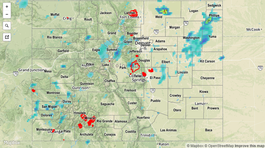
For rainfall estimates specific to your area, check out our Storm Total Precipitation map below. Note that hail likely caused an overestimate in rain totals over the Northeast Plains.