Issue Date: Friday, July 22nd, 2016
Issue Time: 9:00 AM MDT
Summary:
In the absence of good steering flow, scattered showers and thunderstorms moved slowly. At the same time, the weak flow aloft resulted in weak shear, and thunderstorms struggled to intensify as their updrafts and downdrafts fought one another. These two factors balanced each other out over the High Country and limited the potential for heavy rain, resulting in no flash flooding being reported. A couple isolated strong thunderstorms developed over the eastern plains where shear/instability were better, producing locally heavy rainfall and gusty winds. Even so, no flash flooding issues were reported with those storms, either.
Rainfall winners, according to CoCoRaHS observers (reports as of 7 AM MDT):
Grand County: 0.67 inches
Eagle County: 0.64 inches
Kit Carson County: 0.63 inches
Summit County: 0.52 inches
Routt County: 0.47 inches
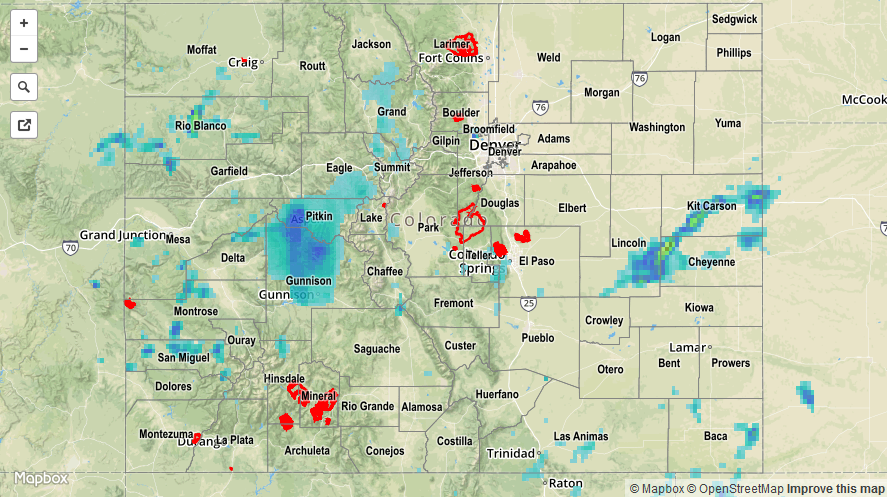
For a complete look at 24-hour precipitation totals, please take a look at the Storm Total Precipitation map below.