STP 08-13-2016: Active across Southeast Colorado, Mainly Quiet Elsewhere

Issue Date: Saturday, August 13th, 2016
Issue Time: 9:00 AM MDT

Summary:

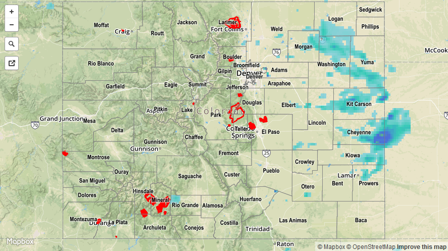
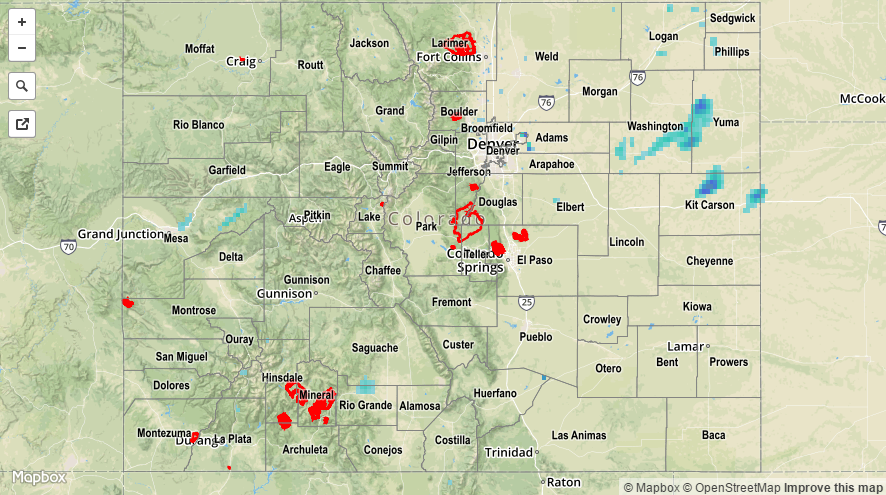
As most of the state remained quiet yesterday, the Southeast Mountains, southern portions of the Urban Corridor/Palmer Ridge, and western portions of the Southeast Plains and Raton Ridge experienced scattered showers/thunderstorms. Most were garden variety, producing gusty winds and light-to-moderate rainfall, while a few were stronger, producing small hail and periods of heavy rainfall. According to CoCoRaHS observers, these were the rainfall “winners” from the past 24 hours (as of 7:30 AM MDT):

Las Animas County: 0.74 inches
Huerfano County: 0.51 inches
Teller County: 0.46 inches
El Paso County: 0.45 inches
Pueblo County: 0.40 inches
Fremont County: 0.39 inches

No flash flooding was reported. For a closer look at rainfall totals in your area, please see the STP map below for a look at 24-hour precipitation totals.

20160813_STPImage
Storm Total Precip Legend

STP 08-12-2016: Active East of the Divide, with More Isolated Coverage to the West

Issue Date: Friday, August 12th, 2016
Issue Time: 9:00 AM MDT

Summary:

The passage of a cool front, combined with sufficient moisture, led to an active day/night across eastern Colorado. Scattered showers and embedded thunderstorms brought beneficial rainfall to much of the area while avoiding any flooding issues. Maximum coverage of storms occurred between 10 PM and 1 AM as outflow boundaries interacted with one another and the terrain, providing extra lift behind the cool front. Rainfall continued overnight and into this morning, with a few showers/storms still ongoing across the far southeast plains.

For western Colorado, showers/storms were more isolated, with the best coverage occurring over the higher terrain of the Northern Mountains and Central Mountains. Most showers/storms came to an end between 7 PM and 9 PM, with only an isolated shower or two continuing over the higher terrain of the Northern Mountains until midnight.

For a statewide look at 24-hour precipitation totals, please take a look at the Storm Total Precipitation map below.

20160812_STPImage
Storm Total Precip Legend

STP 08-11-2016: Scattered Showers and Storms Dotted the State

Issue Date: Thursday, August 11th, 2016
Issue Time: 9:00 AM MDT

Summary:

A disturbance aloft, combined with orographic effects and daytime heating, made use of the available moisture to kick off scattered showers and thunderstorms across the state. For most locations, the moisture profile was a bit “top heavy,” with drier low-levels resulting in mainly gusty winds and light-to-moderate rainfall. The lone storm report from western Colorado came from 1 mile north of Naturita (Montrose County), where a 40 mph thunderstorm wind gust was recorded by an AWOS station at the Nucla – Hopkins Field Airport. Over the Northeast Plains, however, better low-level moisture fueled a few bouts with moderate-to-heavy rainfall. An observer located 8 miles NNW of Stratton (Kit Carson County) reported 1.50 inches of heavy rain were measured yesterday afternoon.

No flash flooding was reported. For a statewide look at 24-hour precipitation totals, please take a look at the Storm Total Precipitation map below.

20160811_STPImage
Storm Total Precip Legend

STP 08-10-2016: Widely Scattered Showers/Storms Dotted the State, a Few were Stronger East of the Mountains

Issue Date: Wednesday, August 10th, 2016
Issue Time: 9:00 AM MDT

Summary:

Drier air attempted a takeover yesterday, leading to a downtick in the number of showers/storms overall. During the afternoon and evening, the Urban Corridor, Palmer Ridge, and Northeast Plains regions were most active, with a few stronger storms producing periods of moderate-to-heavy rainfall, gusty winds, and lightning. No severe storm reports were received from this activity. Elsewhere, mainly over the higher terrain, isolated-to-widely scattered coverage of showers/weak thunderstorms produced light-to-moderate rainfall and gusty winds. The lone severe storm report from yesterday was a 60 mph thunderstorm wind gust, recorded 2 miles SE of Craig (Moffat County).

Overnight and into this morning, a new moisture surge and associated disturbance from the southwest kicked off isolated-to-scattered showers across southwestern and western Colorado. Most of this activity is producing light showers, but locally heavier rain is likely occurring underneath thunderstorms.

No flash flooding was reported. For a statewide look at 24-hour precipitation totals, please take a look at the Storm Total Precipitation map below.

20160810_STPImage
Storm Total Precip Legend