Issue Date: Thursday, August 11th, 2016
Issue Time: 9:00 AM MDT
Summary:
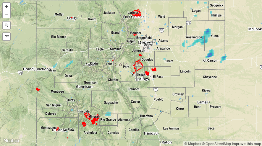
A disturbance aloft, combined with orographic effects and daytime heating, made use of the available moisture to kick off scattered showers and thunderstorms across the state. For most locations, the moisture profile was a bit “top heavy,” with drier low-levels resulting in mainly gusty winds and light-to-moderate rainfall. The lone storm report from western Colorado came from 1 mile north of Naturita (Montrose County), where a 40 mph thunderstorm wind gust was recorded by an AWOS station at the Nucla – Hopkins Field Airport. Over the Northeast Plains, however, better low-level moisture fueled a few bouts with moderate-to-heavy rainfall. An observer located 8 miles NNW of Stratton (Kit Carson County) reported 1.50 inches of heavy rain were measured yesterday afternoon.
No flash flooding was reported. For a statewide look at 24-hour precipitation totals, please take a look at the Storm Total Precipitation map below.