Issue Date: Friday, August 12th, 2016
Issue Time: 9:00 AM MDT
Summary:
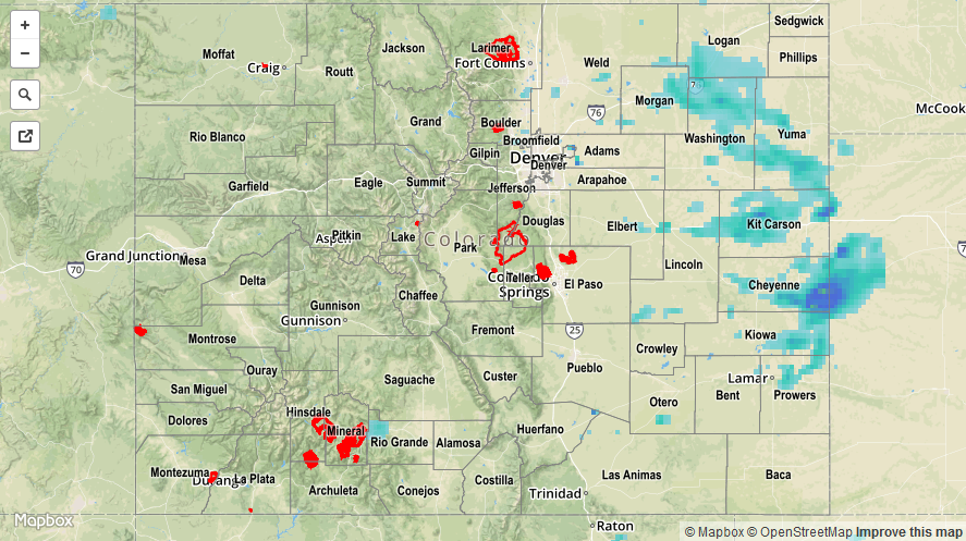
The passage of a cool front, combined with sufficient moisture, led to an active day/night across eastern Colorado. Scattered showers and embedded thunderstorms brought beneficial rainfall to much of the area while avoiding any flooding issues. Maximum coverage of storms occurred between 10 PM and 1 AM as outflow boundaries interacted with one another and the terrain, providing extra lift behind the cool front. Rainfall continued overnight and into this morning, with a few showers/storms still ongoing across the far southeast plains.
For western Colorado, showers/storms were more isolated, with the best coverage occurring over the higher terrain of the Northern Mountains and Central Mountains. Most showers/storms came to an end between 7 PM and 9 PM, with only an isolated shower or two continuing over the higher terrain of the Northern Mountains until midnight.
For a statewide look at 24-hour precipitation totals, please take a look at the Storm Total Precipitation map below.