STP 06-17-2017: Splendid But Toasty Friday As Dry Streak Continued

Issue Date: Saturday, June 17th, 2017
Issue Time: 9:30AM MDT

Summary:

A “persistence” pattern resulted in sunshine for most of the state on Friday, with the exception of a few mountain wave clouds in the Front Range and Palmer Ridge. One major difference compared to Thursday was warmer temperatures. Highs exceeded the 100F mark for the first time during the young summer season for many lower elevation locations. Even higher elevation locations such as Copper Mountain climbed above 60F.

With dry air in the lower-levels and a lack of any atmospheric forcing, precipitation was nowhere to be found. Friday was the 5th consecutive day without precipitation anywhere in the state.

An update on Rio Blanco County’s Dead Dog fire showed containment exceeding 90%. The final tally of burned acreage will likely exceed 17,000, certainly making it a threat for runoff during the upcoming monsoon season.

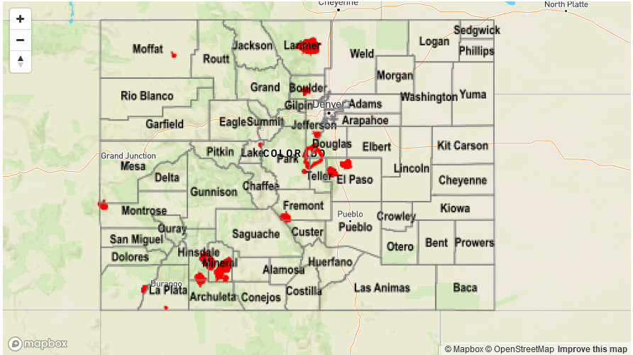
Neither flooding nor precipitation was reported on Friday.

Storm Total Precip Legend

STP 06-16-2017: Beautiful Summer Day

Issue Date: Friday, June 16th, 2017
Issue Time: 9:45AM MDT

Summary:

Sunshine mixed with a few clouds, along with seasonably warm summer temperatures were common across Colorado on Thursday. With dry air in place underneath a weak upper-level ridge, there was little to no atmospheric instability and thus, limited potential for rainfall.

Although relative humidity values were low, a bit more moisture was in the air compared to Wednesday. This, in combination with lower wind speeds allow for the complete or near-complete containment of two large wildfires in Rio Blanco County: the Dead Dog and Hunter fires. With over 15,000 acres of burn area, we will be adding the Dead Dog fire footprint to our fire scar watchlist in time for this summer’s monsoon rains.

Flooding was not reported on Thursday. For precipitation estimates in your area, check out the State Precipitation Map below.

Storm Total Precip Legend

STP 06-15-2017: Dry Air And Mostly Sunny Skies Ruled The Land

Issue Date: Thursday, June 15th, 2017
Issue Time: 9:45AM MDT

Summary:

Temperatures were 5-10F higher on Wednesday compared to Tuesday as plenty of sunshine and weak ridging moved overhead. However, dry air prevailed with relative humidity values in the 20-30% range across most of the state during the afternoon hours. In typical Colorado fashion, even with such meager moisture, a few weak thunderstorms were able to pop up mainly on the northern face of the Palmer Ridge. The storms were photogenic and even produced some lightning, but did not produce much rainfall. Highest reports as of this morning were less than 0.1 inches.

A check of the state’s snowpack this morning showed less than 1 inch of average snow water equivalent across all snow gages. However, a few SNOTEL gages continued to maintain substantial snow pack including:

Tower (Routt County): 18.9 inches
Black Mesa (Dolores County): 18.9 inches
Sawtooth (Boulder County): 14.0 inches
Bison Lake (Garfield County): 10.4 inches
Fremont Pass (Summit County): 9.7 inches

Flooding was not reported on Wednesday. For precipitation estimates in your area, check out the State Precipitation Map below.

Storm Total Precip Legend

STP 06-14-2017: Windy and Cool(er) Tuesday

Issue Date: Wednesday, June 14th, 2017
Issue Time: 9:55AM MDT

Summary:

A strong disturbance, responsible for Monday’s hail and tornadoes, swept across Colorado on Tuesday. The main sensible impacts was a slight cooling but more noticeable, substantial drying especially east of the Continental Divide. For example, the dew point temperature in Denver peaked at 53F on Monday but briefly bottomed out at 9F on Tuesday. Dew point temperatures were even lower west of the Continental Divide with relative humidity values below 15% common across a large portion of the state. As a result, the Dead Dog fire along the Utah border saw a huge increase in size, with several other fires continuing on Monday.

A few clouds developed in the afternoon associated with dynamics near the low pressure center. However, only a trace of precipitation was recorded for lucky locations.

Flooding was not reported on Tuesday. For precipitation estimates in your area, check out the State Precipitation Map below.


Storm Total Precip Legend