Issue Date: Wednesday, June 14th, 2017
Issue Time: 9:55AM MDT
Summary:
A strong disturbance, responsible for Monday’s hail and tornadoes, swept across Colorado on Tuesday. The main sensible impacts was a slight cooling but more noticeable, substantial drying especially east of the Continental Divide. For example, the dew point temperature in Denver peaked at 53F on Monday but briefly bottomed out at 9F on Tuesday. Dew point temperatures were even lower west of the Continental Divide with relative humidity values below 15% common across a large portion of the state. As a result, the Dead Dog fire along the Utah border saw a huge increase in size, with several other fires continuing on Monday.
A few clouds developed in the afternoon associated with dynamics near the low pressure center. However, only a trace of precipitation was recorded for lucky locations.
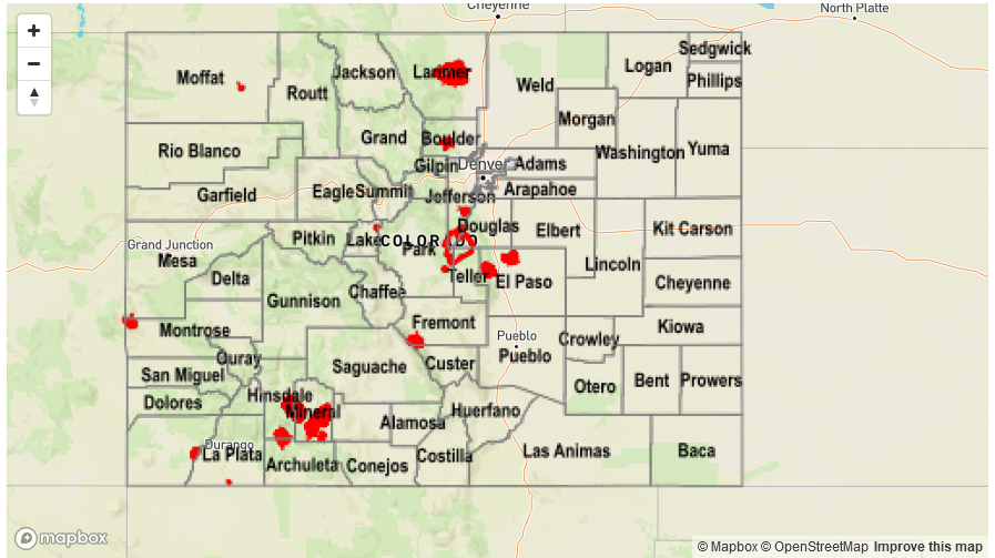
Flooding was not reported on Tuesday. For precipitation estimates in your area, check out the State Precipitation Map below.