Issue Date: Thursday, June 15th, 2017
Issue Time: 9:45AM MDT
Summary:
Temperatures were 5-10F higher on Wednesday compared to Tuesday as plenty of sunshine and weak ridging moved overhead. However, dry air prevailed with relative humidity values in the 20-30% range across most of the state during the afternoon hours. In typical Colorado fashion, even with such meager moisture, a few weak thunderstorms were able to pop up mainly on the northern face of the Palmer Ridge. The storms were photogenic and even produced some lightning, but did not produce much rainfall. Highest reports as of this morning were less than 0.1 inches.
A check of the state’s snowpack this morning showed less than 1 inch of average snow water equivalent across all snow gages. However, a few SNOTEL gages continued to maintain substantial snow pack including:
Tower (Routt County): 18.9 inches
Black Mesa (Dolores County): 18.9 inches
Sawtooth (Boulder County): 14.0 inches
Bison Lake (Garfield County): 10.4 inches
Fremont Pass (Summit County): 9.7 inches
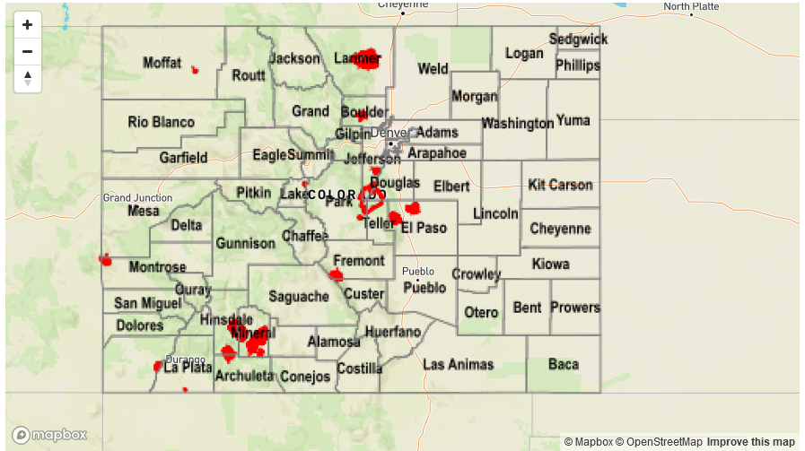
Flooding was not reported on Wednesday. For precipitation estimates in your area, check out the State Precipitation Map below.