STP 06-25-2017: Isolated Showers/Thunderstorms Rumbled Across Eastern Colorado

Issue Date: Sunday, June 25th, 2017
Issue Time: 10:10 AM MDT

Summary:

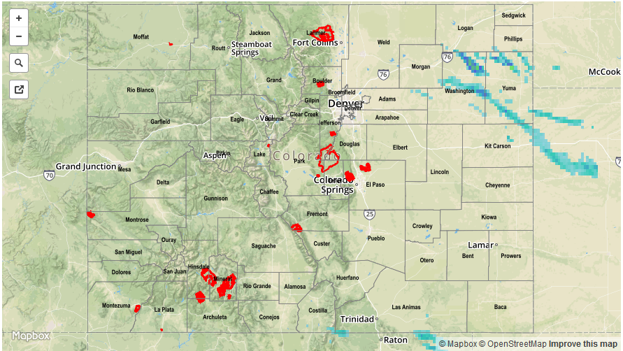
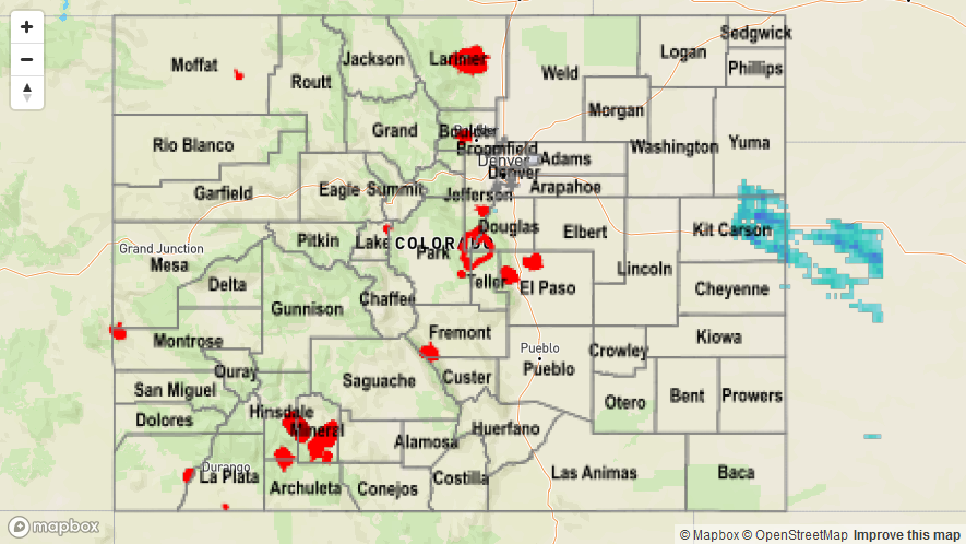
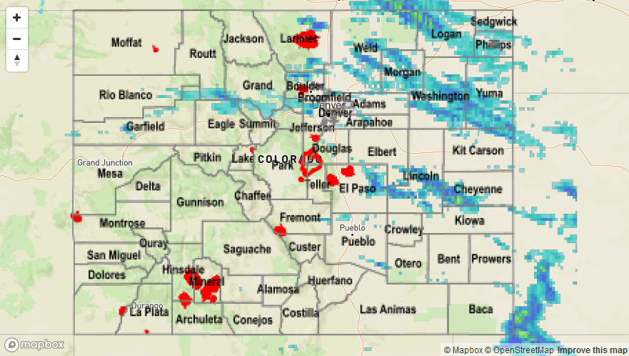
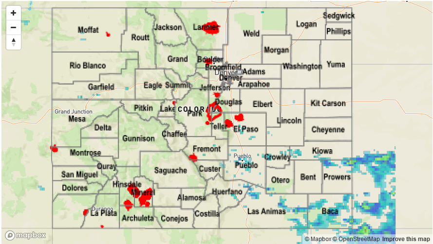
Once again, the Continental Divide was a barrier that kept low-level moisture from eastern Colorado from moving into western Colorado, separating the two sides into different weather “regimes.” Along and east of the Continental Divide, isolated showers/thunderstorms rumbled. Moisture was too shallow to produce heavy rain and subsequent flooding issues, so the wetting rain is a welcome event. The best rainfall occurred overnight/this morning across the eastern plains, as the low-level jet provided the additional boost for better storms. On the flip side of the coin, west of the Divide resembled a typical hot and dry summer day.

No flooding occurred yesterday. Please see the STP map below for a look at precipitation totals from the last 24 hours.


Storm Total Precip Legend

STP 06-24-2017: Hot Out West, Cooler/Wetter to the East

Issue Date: Saturday, June 24th, 2017
Issue Time: 10:10 AM MDT

Summary:

The Continental Divide separated the dry air from the western US and the shallow, moist layer of air from the Great Plains, resulting in two separate weather regimes yesterday. Dry conditions west of the Divide made for a nice, albeit hot end to the work week, while upslope, easterly flow brought widespread cloud cover and cooler temperatures to areas east of the Divide. A few showers/thunderstorms rumbled, as daytime heating played on the moisture, but no flooding was experienced as rain rates remained well below flash flood thresholds. According to CoCoRaHS observers, the big “winners” in yesterday’s rainfall sweepstakes were:

Pueblo County: 0.27 inches
Adams and Jefferson County: 0.26 inches
Boulder County: 0.25 inches
Las Animas County: 0.22 inches

No flooding occurred yesterday. Please see the STP map below for a look at precipitation totals from the last 24 hours.

Storm Total Precip Legend

STP 06-23-2017: Impressive Summer Cold Front Sparks Storms, But Rainfall Limited

Issue Date: Friday, June 23, 2017
Issue Time: 9:45AM MDT

Summary:

The temperature swings of the past 48 hours were nothing short of spectacular. A strong Pacific high pressure moved across the Canadian Rockies, helping usher in a cold front across eastern Colorado on Thursday. Although cooler temperatures were felt statewide, the most dramatic changes were in northeast Colorado. For example, Sterling reached a high of 100F on Wednesday but struggled to get into the low 80s on Thursday. Meanwhile, this morning, areas in the northeast part of the state have temperatures in the 40s with a thick low cloud deck – a drop of 50F over the 48 hour period!

Acting as a focal point for storm activity, the front caused numerous rounds of isolated to scattered storms mainly across eastern areas. Storms fired by noon, producing short-duration heavy rainfall up to 0.5 inches, with some small hail. After a lull in the evening hours, more weak thunderstorms developed off the Cheyenne ridge after sunset and slow trekked across northeast Colorado during the overnight hours. However, rainfall amounts were kept in check, with up to 1 inch falling over a 2-3 hour period.

Flooding was not reported on Thursday. For rainfall estimates in your area, check out the State Precipitation Map below.

Storm Total Precip Legend

STP 06-22-2017: Record Heat With A Few Heavy Rainers Across Southeast

Issue Date: Thursday, June 22nd, 2017
Issue Time: 10:55AM MDT

Summary:

The so-called “solstice ridge” was true to its name on Wednesday, accounting for numerous record high temperatures across both eastern and western Colorado. Even though moisture levels were relatively low, combined with the warm temperatures, adequate instability generated isolated to scattered showers and storms across many parts of the state. Most rainfall amounts were nothing to write home about, generally a few tenths of an inch. Some more intense storms developed in the southeast part of the state, where the best low-level moisture was found. A USGS gage in Las Animas county measured a downpour of about 0.86 inches in less than an hour. Also, a few strong to severe storms formed in Prowers and Baca counties during the late afternoon. Isolated amounts of 1 inch were likely here, over the rural (ungauged) countryside.

Flooding was not reported on Wednesday. For rainfall estimates in your area, check out the State Precipitation Map below.

Storm Total Precip Legend