Issue Date: Thursday, June 22nd, 2017
Issue Time: 10:55AM MDT
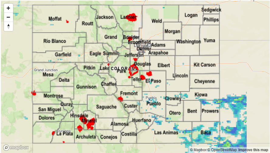
Summary:
The so-called “solstice ridge” was true to its name on Wednesday, accounting for numerous record high temperatures across both eastern and western Colorado. Even though moisture levels were relatively low, combined with the warm temperatures, adequate instability generated isolated to scattered showers and storms across many parts of the state. Most rainfall amounts were nothing to write home about, generally a few tenths of an inch. Some more intense storms developed in the southeast part of the state, where the best low-level moisture was found. A USGS gage in Las Animas county measured a downpour of about 0.86 inches in less than an hour. Also, a few strong to severe storms formed in Prowers and Baca counties during the late afternoon. Isolated amounts of 1 inch were likely here, over the rural (ungauged) countryside.
Flooding was not reported on Wednesday. For rainfall estimates in your area, check out the State Precipitation Map below.