Issue Date: Friday, June 23, 2017
Issue Time: 9:45AM MDT
Summary:
The temperature swings of the past 48 hours were nothing short of spectacular. A strong Pacific high pressure moved across the Canadian Rockies, helping usher in a cold front across eastern Colorado on Thursday. Although cooler temperatures were felt statewide, the most dramatic changes were in northeast Colorado. For example, Sterling reached a high of 100F on Wednesday but struggled to get into the low 80s on Thursday. Meanwhile, this morning, areas in the northeast part of the state have temperatures in the 40s with a thick low cloud deck – a drop of 50F over the 48 hour period!
Acting as a focal point for storm activity, the front caused numerous rounds of isolated to scattered storms mainly across eastern areas. Storms fired by noon, producing short-duration heavy rainfall up to 0.5 inches, with some small hail. After a lull in the evening hours, more weak thunderstorms developed off the Cheyenne ridge after sunset and slow trekked across northeast Colorado during the overnight hours. However, rainfall amounts were kept in check, with up to 1 inch falling over a 2-3 hour period.
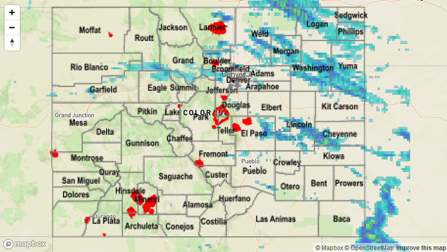
Flooding was not reported on Thursday. For rainfall estimates in your area, check out the State Precipitation Map below.